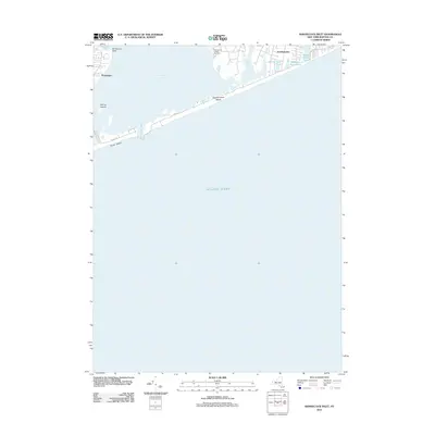
2012 Map of Shinnecock Inlet
USGS Topo · Published 2012About this map
Shinnecock Bay and the Atlantic coastline dominate this 2012 study of the South Shore, where the barrier beach is pierced by the Shinnecock Inlet. The landscape is defined by the tension between the open ocean and the sheltered waters of the bay, connected by a network of coastal roads including Meadow Ln and Dune Rd. The map documents the residential and recreational development of Southampton and Ponquogue, showing how local hydrology is shaped by features like Agawan Lake and Halsey Neck Pond. A significant cultural landmark, the Shinnecock Indian Cemetery, sits near the head of the bay, grounding the contemporary layout in its deeper historical and ancestral context. From Cormorant Point to the Warner Islands, the map provides a precise record of the shoreline and maritime geography as it existed in the early 21st century.
Find a feature on this map
20 named features on this map. Tap any name to fly to it.
Don’t see what you’re looking for? This feature index may not catch every label — zoom into the map to look around manually.
Map Details
Editions of this 2012 Shinnecock Inlet Map
This is the sole edition of this map. No revisions or reprints were ever made.
Other maps of this area

1903 · Sag Harbor
USGS Topo · 1:62,500

1903 · Riverhead
USGS Topo · 1:62,500

1904 · Sag Harbor
USGS Topo · 1:62,500

1904 · Riverhead
USGS Topo · 1:62,500

1943 · Riverhead
USGS Topo · 1:62,500

1946 · Sag Harbor
USGS Topo · 1:24,000

1947 · Mattituck
USGS Topo · 1:24,000

1947 · Southampton
USGS Topo · 1:24,000

1947 · Quogue
USGS Topo · 1:24,000
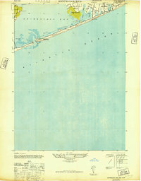
1947 · Shinnecock Bay
USGS Topo · 1:24,000