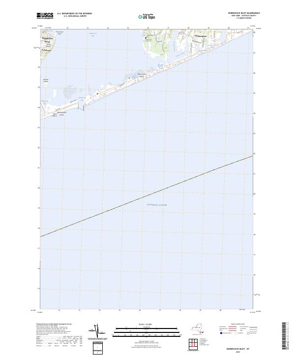
2023 Map of Shinnecock Inlet
USGS Topo · Published 2023About this map
Shinnecock Bay and the narrow barrier beach of Southampton Beach define the coastal geography of this modern Suffolk County survey. The landscape is characterized by its intricate shoreline, where the Shinnecock Inlet provides a vital connection between the sheltered interior waters and the open Atlantic Ocean. The residential and historic patterns of the South Fork are visible in the layout of Southampton and Hampton Bays, with numerous dead-end lanes and beach-access roads like Meadow Ln and Gin Ln reaching toward the surf.
Find a feature on this map
32 named features on this map. Tap any name to fly to it.
Don’t see what you’re looking for? This feature index may not catch every label — zoom into the map to look around manually.
Map Details
Editions of this 2023 Shinnecock Inlet Map
This is the sole edition of this map. No revisions or reprints were ever made.
Other maps of this area

1903 · Sag Harbor
USGS Topo · 1:62,500

1903 · Riverhead
USGS Topo · 1:62,500

1904 · Sag Harbor
USGS Topo · 1:62,500

1904 · Riverhead
USGS Topo · 1:62,500

1943 · Riverhead
USGS Topo · 1:62,500

1946 · Sag Harbor
USGS Topo · 1:24,000

1947 · Mattituck
USGS Topo · 1:24,000

1947 · Southampton
USGS Topo · 1:24,000

1947 · Quogue
USGS Topo · 1:24,000
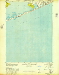
1947 · Shinnecock Bay
USGS Topo · 1:24,000