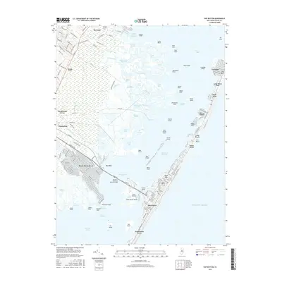
2016 Map of Ship Bottom
USGS Topo · Published 2016About this map
Manahawkin Bay separates the mainland of Ocean County from the barrier island communities that define this stretch of the New Jersey coast. On the mainland, the residential developments of Beach Haven West and Barnegat are intersected by established waterways like the Gunning River and Manahawkin Cr, while the Friends Meeting Cem sits as a quiet historical marker near the northern edge of the settlement. The Dorland J Henderson Memorial Bridge provides the primary link across the bay, touching down at Bonnet Island before reaching the island towns.
Find a feature on this map
82 named features on this map. Tap any name to fly to it.
Don’t see what you’re looking for? This feature index may not catch every label — zoom into the map to look around manually.
Map Details
Editions of this 2016 Ship Bottom Map
This is the sole edition of this map. No revisions or reprints were ever made.
Other maps of this area

1884 · Whitings
USGS Topo · 1:62,500

1888 · Barnegat
USGS Topo · 1:62,500

1888 · Little Egg Harbor
USGS Topo · 1:62,500

1888 · Long Beach
USGS Topo · 1:62,500

1888 · Whitings
USGS Topo · 1:62,500

1893 · Little Egg Harbor
USGS Topo · 1:62,500

1893 · Long Beach
USGS Topo · 1:62,500

1893 · Barnegat
USGS Topo · 1:62,500

1898 · Barnegat
USGS Topo · 1:62,500

1919 · Long Beach
USGS Topo · 1:62,500
Featured Places
- Stafford Township, NJ
- Barnegat Township, NJ
- Long Beach Township, NJ
- Eagleswood Township, NJ
- Surf City, NJ