Loading...
Loading map...2023 Map of Ship Bottom
USGS Topo · Published 2023About this map
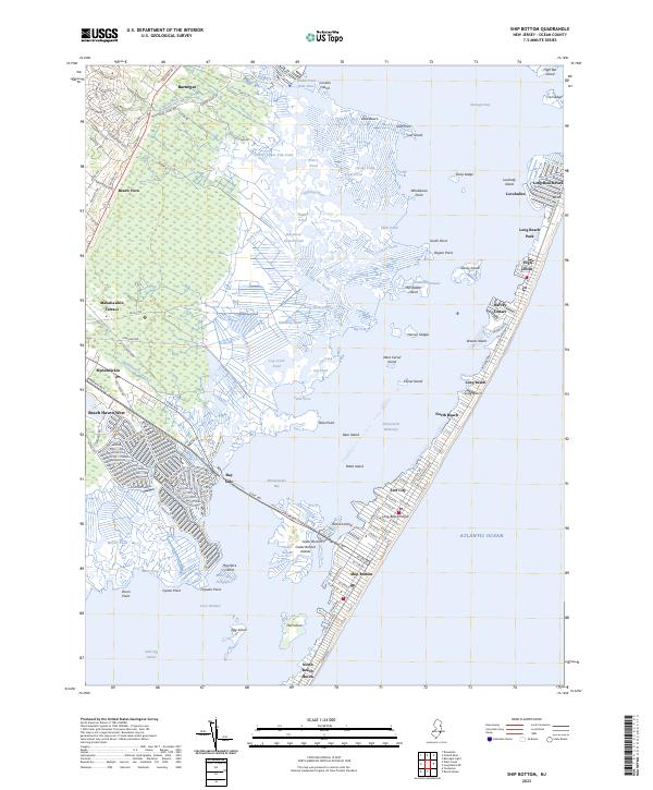
Manahawkin Bay separates the mainland settlements of Manahawkin and Beach Haven West from the slender barrier of Long Beach Island. This coastal geography is defined by a complex network of salt marshes and tidal channels, including the Intracoastal Waterway which threads between the mainland and the island chain. On the Atlantic side, the linear development of Ship Bottom, Surf City, and Harvey Cedars shows the dense residential grid that has come to define these seaside communities.
Find a feature on this map
149 named features on this map. Tap any name to fly to it.
Don’t see what you’re looking for? This feature index may not catch every label — zoom into the map to look around manually.
Map Details
Date Portrayed2023
Date Published2023
PublisherU.S. Geological Survey
Map TypeTopographic
Scale1:24000
Physical Dimensions24 x 29 inches
Editions of this 2023 Ship Bottom Map
This is the sole edition of this map. No revisions or reprints were ever made.
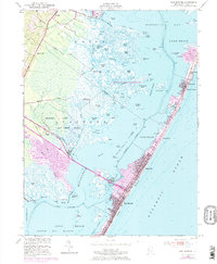
Historical Maps of Eagleswood Township Through Time
Featured Locations
- Barnegat Township, NJ
- Eagleswood Township, NJ
- Stafford Township, NJ
- Long Beach Township, NJ
- Surf City, NJ
Source Details
SourceU.S. Geological Survey
CopyrightPublic Domain