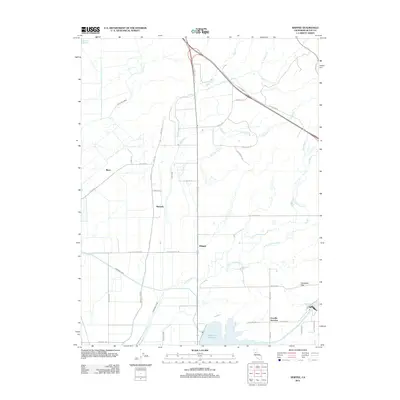
2012 Map of Shippee
USGS Topo · Published 2012About this map
Agricultural irrigation networks and small rural settlements define this part of Butte County, where the Western Canal and Cherokee Canal cut across the landscape to manage water resources. These man-made features contrast with the natural winding paths of Little Dry Creek and Cottonwood Creek as they flow toward the large industrial reservoirs. The infrastructure is anchored by the Thermalito Afterbay and a portion of the Thermalito Forebay, which are central to the water management of the region.
Find a feature on this map
44 named features on this map. Tap any name to fly to it.
Don’t see what you’re looking for? This feature index may not catch every label — zoom into the map to look around manually.
Map Details
Editions of this 2012 Shippee Map
This is the sole edition of this map. No revisions or reprints were ever made.
Other maps of this area

1888 · Marysville
USGS Topo · 1:125,000

1891 · Chico
USGS Topo · 1:125,000

1891 · Marysville
USGS Topo · 1:125,000

1893 · Chico
USGS Topo · 1:125,000

1894 · Marysville
USGS Topo · 1:125,000

1895 · Marysville
USGS Topo · 1:125,000

1895 · Chico
USGS Topo · 1:125,000

1911 · Landlow
USGS Topo · 1:31,680

1912 · Dry Creek
USGS Topo · 1:31,680

1912 · Durham
USGS Topo · 1:31,680