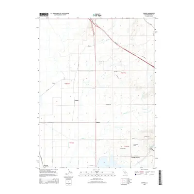
2015 Map of Shippee
USGS Topo · Published 2015About this map
The agricultural landscape of the Sacramento Valley dominates this Butte County study, centered on the settlement of Shippee. The terrain is defined by an intricate network of irrigation and water management infrastructure, including the Gold Run Canal, High Lift Lateral, and Butler Canal, which support the intensive farming characteristic of the Central Valley. To the south and east, the large reservoirs of the Thermalito Afterbay and Thermalito Forebay mark the edge of the foothills near Oroville Junction.
Find a feature on this map
49 named features on this map. Tap any name to fly to it.
Don’t see what you’re looking for? This feature index may not catch every label — zoom into the map to look around manually.
Map Details
Editions of this 2015 Shippee Map
This is the sole edition of this map. No revisions or reprints were ever made.
Other maps of this area

1888 · Marysville
USGS Topo · 1:125,000

1891 · Chico
USGS Topo · 1:125,000

1891 · Marysville
USGS Topo · 1:125,000

1893 · Chico
USGS Topo · 1:125,000

1894 · Marysville
USGS Topo · 1:125,000

1895 · Marysville
USGS Topo · 1:125,000

1895 · Chico
USGS Topo · 1:125,000

1911 · Landlow
USGS Topo · 1:31,680

1912 · Dry Creek
USGS Topo · 1:31,680

1912 · Durham
USGS Topo · 1:31,680