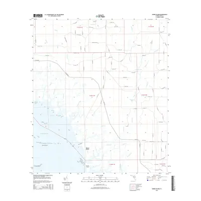
2015 Map of Shired Island
USGS Topo · Published 2015About this map
Shired Island and its surrounding tidal marshlands dominate this 2015 study of the Dixie County coastline. The landscape is defined by an intricate network of waterways, including Fishbone Creek and Bumblebee Creek, which thread through the low-lying terrain before reaching the Gulf of Mexico. Along the shoreline, distinctive landforms like Horseshoe Cove and island clusters such as the Seven Brothers and Seven Sisters mark the transition from the mainland to the sea.
Find a feature on this map
94 named features on this map. Tap any name to fly to it.
Don’t see what you’re looking for? This feature index may not catch every label — zoom into the map to look around manually.
Map Details
Editions of this 2015 Shired Island Map
This is the sole edition of this map. No revisions or reprints were ever made.
Other maps of this area

1954 · Eugene
USGS Topo · 1:24,000

1954 · Steinhatchee SE
USGS Topo · 1:24,000

1954 · Cross City SW
USGS Topo · 1:24,000

1954 · Horseshoe Beach
USGS Topo · 1:24,000

1954 · Suwannee
USGS Topo · 1:24,000

1954 · Vista
USGS Topo · 1:24,000

1954 · East Pass
USGS Topo · 1:24,000

1954 · Gainesville
USGS Topo · 1:250,000

1955 · Shired Island
USGS Topo · 1:24,000

1958 · Gainesville
USGS Topo · 1:250,000