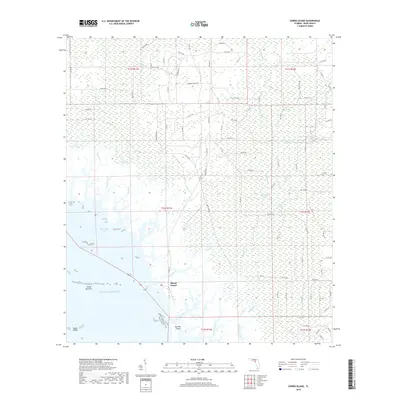
2018 Map of Shired Island
USGS Topo · Published 2018About this map
Shired Island and the coastal reaches of Dixie County meet the Gulf of Mexico in this detailed 2018 survey. The landscape is defined by its intricate aquatic systems, where tidal creeks like Shired Creek and Johnson Creek thread through the dense California Swamp. This environment is punctuated by small, secluded bodies of water such as California Lake and Thompson Lake, illustrating the transition from inland wetlands to the open sea.
Find a feature on this map
97 named features on this map. Tap any name to fly to it.
Don’t see what you’re looking for? This feature index may not catch every label — zoom into the map to look around manually.
Map Details
Editions of this 2018 Shired Island Map
This is the sole edition of this map. No revisions or reprints were ever made.
Other maps of this area

1954 · Eugene
USGS Topo · 1:24,000

1954 · Steinhatchee SE
USGS Topo · 1:24,000

1954 · Cross City SW
USGS Topo · 1:24,000

1954 · Horseshoe Beach
USGS Topo · 1:24,000

1954 · Suwannee
USGS Topo · 1:24,000

1954 · Vista
USGS Topo · 1:24,000

1954 · East Pass
USGS Topo · 1:24,000

1954 · Gainesville
USGS Topo · 1:250,000

1955 · Shired Island
USGS Topo · 1:24,000

1958 · Gainesville
USGS Topo · 1:250,000