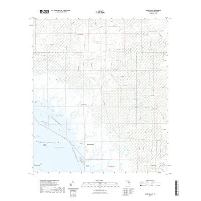
2021 Map of Shired Island
USGS Topo · Published 2021About this map
Shired Island anchors this coastal Dixie County survey, where the low-lying Florida shoreline meets the Gulf of Mexico. The landscape is defined by an intricate network of tidal creeks and wetlands, including Shired Creek, Jim Lee Creek, and Amason Creek. Inland, the terrain transitions into the Pécoson Swamp and California Swamp, broken only by isolated bodies of water like California Lake and Thompson Lake. The presence of the Florida Circumnavigational Paddling Trail underscores the region's navigable maritime character. Off the coast, the Seven Brothers and Seven Sisters island groups provide essential landmarks for navigating toward Horseshoe Cove. This 2021 update documents a wilderness area where County Road 357 and a grid of rural avenues provide the only terrestrial access to the marshy Gulf front.
Find a feature on this map
91 named features on this map. Tap any name to fly to it.
Don’t see what you’re looking for? This feature index may not catch every label — zoom into the map to look around manually.
Map Details
Editions of this 2021 Shired Island Map
This is the sole edition of this map. No revisions or reprints were ever made.
Other maps of this area

1954 · Eugene
USGS Topo · 1:24,000

1954 · Steinhatchee SE
USGS Topo · 1:24,000

1954 · Cross City SW
USGS Topo · 1:24,000

1954 · Horseshoe Beach
USGS Topo · 1:24,000

1954 · Suwannee
USGS Topo · 1:24,000

1954 · Vista
USGS Topo · 1:24,000

1954 · East Pass
USGS Topo · 1:24,000

1954 · Gainesville
USGS Topo · 1:250,000

1955 · Shired Island
USGS Topo · 1:24,000

1958 · Gainesville
USGS Topo · 1:250,000