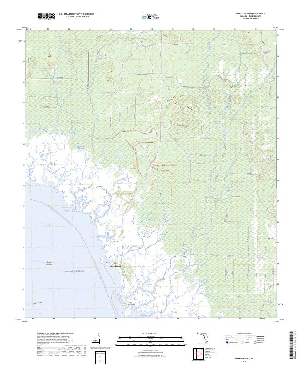
2025 Map of Shired Island
USGS Topo · Published 2025About this map
Shired Island and the coastal marshes of Dixie County define this landscape along the Gulf of America. This coastal environment is characterized by an intricate network of tidal creeks and brackish water bodies, including Butler Creek, Fishbone Creek, and Shired Creek, which snake through the protected lands of the Lower Suwannee National Wildlife Refuge. The terrain transitions from open water to dense wetlands like California Swamp and Pocosion Swamp, dotted with inland features such as California Lake and Thompson Lake.
Find a feature on this map
96 named features on this map. Tap any name to fly to it.
Don’t see what you’re looking for? This feature index may not catch every label — zoom into the map to look around manually.
Map Details
Editions of this 2025 Shired Island Map
This is the sole edition of this map. No revisions or reprints were ever made.
Other maps of this area

1954 · Eugene
USGS Topo · 1:24,000

1954 · Steinhatchee SE
USGS Topo · 1:24,000

1954 · Cross City SW
USGS Topo · 1:24,000

1954 · Horseshoe Beach
USGS Topo · 1:24,000

1954 · Suwannee
USGS Topo · 1:24,000

1954 · Vista
USGS Topo · 1:24,000

1954 · East Pass
USGS Topo · 1:24,000

1954 · Gainesville
USGS Topo · 1:250,000

1955 · Shired Island
USGS Topo · 1:24,000

1958 · Gainesville
USGS Topo · 1:250,000