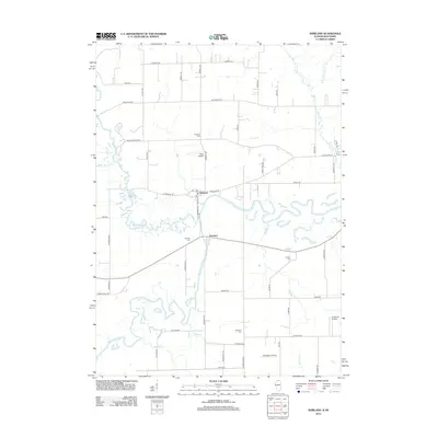
2012 Map of Shirland
USGS Topo · Published 2012About this map
The confluence of the Sugar River and the Pecatonica River defines the landscape of this Winnebago County quadrangle. Centered on the unincorporated communities of Shirland and Harrison, the area maintains a rural character dominated by agricultural fields and winding watercourses. The drainage patterns are intricate, with Timothy Cr, Rhule Cr, and Tunnison Cr feeding into the larger river systems. A distinct local history is preserved through the numerous burial sites across the township, including Shirland Cem, Harrison Cem, and the more remote Phillips Cem. Aviation is surprisingly prominent in the local geography, as evidenced by several private facilities like Koch Airport, Darrington Airport, and Severson Airport scattered among the farms. The map also traces a network of family-named roads such as Hauley Rd and Boswell Rd, which have long anchored the local settlement pattern in northern Illinois near the Wisconsin border.
Find a feature on this map
56 named features on this map. Tap any name to fly to it.
Don’t see what you’re looking for? This feature index may not catch every label — zoom into the map to look around manually.
Map Details
Editions of this 2012 Shirland Map
This is the sole edition of this map. No revisions or reprints were ever made.
Other maps of this area

1891 · Janesville
USGS Topo · 1:62,500

1893 · Janesville
USGS Topo · 1:62,500

1893 · Brodhead
USGS Topo · 1:62,500

1918 · Rockford
USGS Topo · 1:62,500

1932 · Pecatonica
USGS Topo · 1:62,500

1936 · Pecatonica
USGS Topo · 1:62,500

1938 · Rockford
USGS Topo · 1:62,500

1949 · Rockford
USGS Topo · 1:24,000

1954 · Rockford
USGS Topo · 1:250,000

1955 · Rockford
USGS Topo · 1:250,000