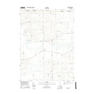
2015 Map of Shirland
USGS Topo · Published 2015About this map
The Pecatonica River meanders across the southern half of this landscape, its complex oxbows and bends defining the topography south of Shirland. This 2015 survey illustrates the rural character of northern Winnebago County, where the village of Harrison sits at the junction of Freeport Rd and Harrison Rd. The area is notably dense with small private airfields and rural burial grounds, serving as a hub for local aviation and family history. Researchers will find several distinct cemeteries including Shirland Cem, Harrison Cem, and Meridian Cem. The northern portion is characterized by a network of country roads like Yale Bridge Rd and Boswell Rd, which cross the drainage of the Sugar River and Otter Cr before reaching the state line with Wisconsin.
Find a feature on this map
57 named features on this map. Tap any name to fly to it.
Don’t see what you’re looking for? This feature index may not catch every label — zoom into the map to look around manually.
Map Details
Editions of this 2015 Shirland Map
This is the sole edition of this map. No revisions or reprints were ever made.
Other maps of this area

1891 · Janesville
USGS Topo · 1:62,500

1893 · Janesville
USGS Topo · 1:62,500

1893 · Brodhead
USGS Topo · 1:62,500

1918 · Rockford
USGS Topo · 1:62,500

1932 · Pecatonica
USGS Topo · 1:62,500

1936 · Pecatonica
USGS Topo · 1:62,500

1938 · Rockford
USGS Topo · 1:62,500

1949 · Rockford
USGS Topo · 1:24,000

1954 · Rockford
USGS Topo · 1:250,000

1955 · Rockford
USGS Topo · 1:250,000