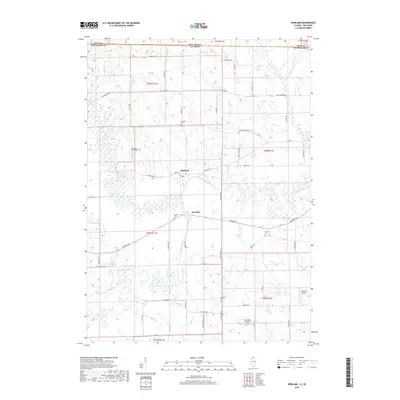
2018 Map of Shirland
USGS Topo · Published 2018About this map
The Pecatonica River winds extensively through this landscape, creating a complex wetland network just south of the Wisconsin-Illinois state line. The settlements of Shirland and Harrison serve as the primary hubs in this rural Winnebago County region, where the river meets the Sugar River and various tributaries like Otter Creek and Raccoon Creek. This area is characterized by a high concentration of small private airfields and local aviation markers, including Loeppert CPL Aero, Darrington Airport, and Severson Airport, reflecting a distinct modern land use pattern among the large agricultural tracts.
Find a feature on this map
43 named features on this map. Tap any name to fly to it.
Don’t see what you’re looking for? This feature index may not catch every label — zoom into the map to look around manually.
Map Details
Editions of this 2018 Shirland Map
This is the sole edition of this map. No revisions or reprints were ever made.
Other maps of this area

1891 · Janesville
USGS Topo · 1:62,500

1893 · Janesville
USGS Topo · 1:62,500

1893 · Brodhead
USGS Topo · 1:62,500

1918 · Rockford
USGS Topo · 1:62,500

1932 · Pecatonica
USGS Topo · 1:62,500

1936 · Pecatonica
USGS Topo · 1:62,500

1938 · Rockford
USGS Topo · 1:62,500

1949 · Rockford
USGS Topo · 1:24,000

1954 · Rockford
USGS Topo · 1:250,000

1955 · Rockford
USGS Topo · 1:250,000