2022 Map of Shirley
USGS Topo · Published 2022About this map
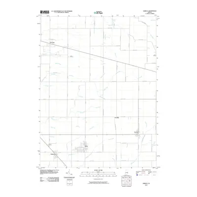
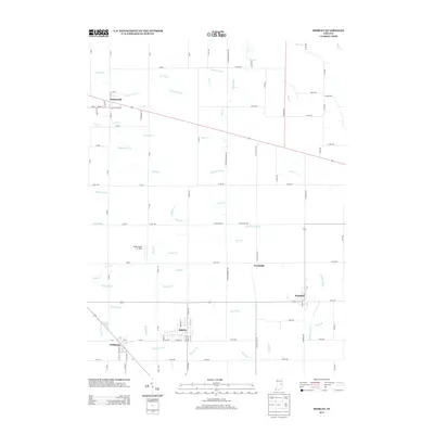
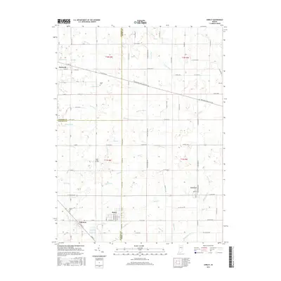
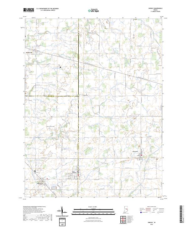
The town of Shirley sits at the junction of Hancock and Henry Counties, serving as a focal point for this agrarian landscape in east-central Indiana. The area is defined by an intricate network of drainage features such as Shirley Drain, Pee Dee Ditch, and Chadwick Ditch, which support the surrounding farmlands. In addition to the primary settlement of Shirley, the smaller communities of Markleville, Kennard, and Wilkinson are interconnected by a grid of rural roads and the W State Rd 38 corridor. Genealogy researchers will find several family-named burial grounds, including Collier Cem and McCray Cem, alongside local landmarks like the Sugar Creek Air Park. The map also details the winding paths of Lick Cr and Sugar Cr, which meander through the township lines and define the local topography.
Find a feature on this map
110 named features on this map. Tap any name to fly to it.
Don’t see what you’re looking for? This feature index may not catch every label — zoom into the map to look around manually.
Map Details
Editions of this 2022 Shirley Map
This is the sole edition of this map. No revisions or reprints were ever made.
Historical Maps of Kennard Through Time
6 maps found