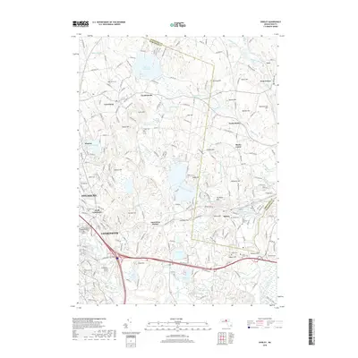
2018 Map of Shirley
USGS Topo · Published 2018About this map
Leominster and Fitchburg anchor the southwestern corner of this survey, where the urban landscape meets a complex terrain of glacial drumlins and wetlands. The industrial heritage of the region is suggested by the proximity of Lunenburg Station to the town of Shirley, while more agrarian and residential patterns appear at Goodrichville and North Shirley. The map reveals a dense network of burial sites and family landmarks, including the Brick Tavern Cem near Shaker Hill and the Village Cem in Shirley Center.
Find a feature on this map
80 named features on this map. Tap any name to fly to it.
Don’t see what you’re looking for? This feature index may not catch every label — zoom into the map to look around manually.
Map Details
Editions of this 2018 Shirley Map
This is the sole edition of this map. No revisions or reprints were ever made.
Other maps of this area

1885 · Worcester
USGS Topo · 1:62,500

1886 · Worcester
USGS Topo · 1:62,500

1887 · Marlboro
USGS Topo · 1:62,500

1887 · Fitchburg
USGS Topo · 1:62,500

1889 · Marlboro
USGS Topo · 1:62,500

1889 · Fitchburg
USGS Topo · 1:62,500

1892 · Worcester
USGS Topo · 1:62,500

1893 · Fitchburg
USGS Topo · 1:62,500

1893 · Groton
USGS Topo · 1:62,500

1896 · Marlboro
USGS Topo · 1:62,500