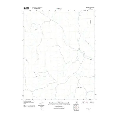
2011 Map of Shivwits
USGS Topo · Published 2011About this map
Shivwits and Shem sit at the intersection of water and roadway in this high-desert landscape of southwestern Utah. The Santa Clara River provides a vital corridor through the terrain, flanked by the Santa Clara Bench and the rising peaks of the Red Mountains to the east. Transportation routes like Gunlock Rd and Old Hwy 91 follow the natural contours of the land, connecting these small settlements to the broader region.
Find a feature on this map
16 named features on this map. Tap any name to fly to it.
Don’t see what you’re looking for? This feature index may not catch every label — zoom into the map to look around manually.
Map Details
Editions of this 2011 Shivwits Map
This is the sole edition of this map. No revisions or reprints were ever made.
Other maps of this area

1885 · St. George
USGS Topo · 1:250,000

1891 · St. George
USGS Topo · 1:250,000

1953 · Cedar City
USGS Topo · 1:250,000

1954 · Beaver Dam Mts NE
USGS Topo · 1:24,000

1954 · Gunlock
USGS Topo · 1:24,000

1954 · Beaver Dam Mts SE
USGS Topo · 1:24,000

1954 · St. George
USGS Topo · 1:62,500

1956 · St. George NW
USGS Topo · 1:24,000
1956 · St. George SW
USGS Topo · 1:24,000

1958 · Cedar City
USGS Topo · 1:250,000