
1954 Map of Gunlock
USGS Topo · Published 1956About this map
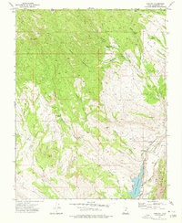
The settlement of Gunlock sits along the eastern edge of this 1954 topographic study, positioned where the Santa Clara River winds through the terrain of Washington County. The landscape is defined by an intricate network of seasonal drainages, including White Rocks Wash, Tobin Flat Wash, and Manganese Wash, which carve through the high ground surrounding Jackson Peak. This preliminary edition map reveals a region reliant on scattered water sources like Grapevine Spring, Oak Patch Spring, and Cedar Spring, which likely served as vital landmarks for early ranchers and travelers.
Find a feature on this map
20 named features on this map. Tap any name to fly to it.
Don’t see what you’re looking for? This feature index may not catch every label — zoom into the map to look around manually.
Map Details
Editions of this 1954 Gunlock Map
This is the sole edition of this map. No revisions or reprints were ever made.
Other maps of this area

1885 · St. George
USGS Topo · 1:250,000

1891 · St. George
USGS Topo · 1:250,000

1953 · Cedar City
USGS Topo · 1:250,000

1954 · Beaver Dam Mts NE
USGS Topo · 1:24,000

1954 · St. George
USGS Topo · 1:62,500

1956 · St. George NW
USGS Topo · 1:24,000

1958 · Cedar City
USGS Topo · 1:250,000

1962 · Cedar City
USGS Topo · 1:250,000
1972 · Gunlock
USGS Topo · 1:24,000
1972 · Goldstrike
USGS Topo · 1:24,000