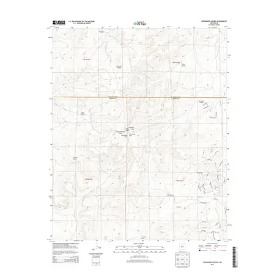
2013 Map of Shoemaker Canyon
USGS Topo · Published 2013About this map
Shoemaker Canyon and its network of drainages define this high-altitude landscape along the border of McKinley and Cibola Counties. The topography is marked by deep incisions from Miller Canyon, Knife Hill Canyon, and Galestina Canyon, which channel seasonal water toward Ojo Hallado Draw. Human presence is anchored at Ojo Pueblo and supported by critical water sources like Aragon Springs and several remote landmarks, including the Ojo Pueblo Windmill and COA Number 1 Windmill.
Find a feature on this map
46 named features on this map. Tap any name to fly to it.
Don’t see what you’re looking for? This feature index may not catch every label — zoom into the map to look around manually.
Map Details
Editions of this 2013 Shoemaker Canyon Map
This is the sole edition of this map. No revisions or reprints were ever made.
Other maps of this area

1886 · Wingate
USGS Topo · 1:250,000

1892 · Wingate
USGS Topo · 1:250,000

1954 · Saint Johns
USGS Topo · 1:250,000

1954 · Gallup
USGS Topo · 1:250,000

1957 · Saint Johns
USGS Topo · 1:250,000

1958 · Gallup
USGS Topo · 1:250,000

1958 · Saint Johns
USGS Topo · 1:250,000

1959 · Gallup
USGS Topo · 1:250,000

1962 · Gallup
USGS Topo · 1:250,000

1962 · Saint Johns
USGS Topo · 1:250,000