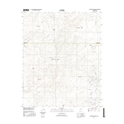
2017 Map of Shoemaker Canyon
USGS Topo · Published 2017About this map
Aragon Springs sits at the heart of this high-elevation landscape within the Eastern Navajo Agency, where the McKinley and Cibola county line bisects the complex drainage systems of the San Juan Basin. The terrain is defined by deep incisions such as Shoemaker Canyon and Upper Galestina Canyon, showcasing the traditional importance of water access in this arid region. A network of Bureau of Indian Affairs routes, including Indian Svc Rte 15 and Indian Svc Rte 13, connects localized family-named access points and homestead-scale developments. These features, alongside land markers like Old Windmill and evocative local names like God's Acre Rd, reflect a modern era of rural land management and persistent cultural ties to the land.
Find a feature on this map
45 named features on this map. Tap any name to fly to it.
Don’t see what you’re looking for? This feature index may not catch every label — zoom into the map to look around manually.
Map Details
Editions of this 2017 Shoemaker Canyon Map
This is the sole edition of this map. No revisions or reprints were ever made.
Other maps of this area

1886 · Wingate
USGS Topo · 1:250,000

1892 · Wingate
USGS Topo · 1:250,000

1954 · Saint Johns
USGS Topo · 1:250,000

1954 · Gallup
USGS Topo · 1:250,000

1957 · Saint Johns
USGS Topo · 1:250,000

1958 · Gallup
USGS Topo · 1:250,000

1958 · Saint Johns
USGS Topo · 1:250,000

1959 · Gallup
USGS Topo · 1:250,000

1962 · Gallup
USGS Topo · 1:250,000

1962 · Saint Johns
USGS Topo · 1:250,000