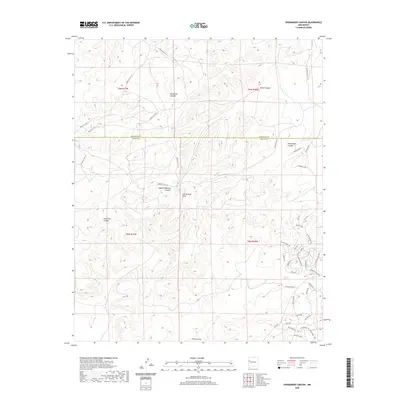
2020 Map of Shoemaker Canyon
USGS Topo · Published 2020About this map
Aragon Springs lies at the heart of this high-desert landscape, situated where the northern edge of Cibola County meets McKinley County. The terrain is defined by a dense network of drainages and canyons, including the prominent Shoemaker Canyon and Galestina Canyon. Transportation in this part of the Eastern Navajo Agency is anchored by a system of Bureau of Indian Affairs routes, such as Indian Svc Rte 15 and Indian Svc Rte 113. These roads follow the natural contours of the land, weaving between Knife Hill Canyon and Miller Canyon. To the south, the map reveals a more recent layer of named local roads and lanes near the springs, including God's Acre Rd and the suggestive Indian Ruins Rd, indicating a pocket of modern residency and history within the sprawling network of draws like Ojo Hallado Draw and Pinitos Draw.
Find a feature on this map
47 named features on this map. Tap any name to fly to it.
Don’t see what you’re looking for? This feature index may not catch every label — zoom into the map to look around manually.
Map Details
Editions of this 2020 Shoemaker Canyon Map
This is the sole edition of this map. No revisions or reprints were ever made.
Other maps of this area

1886 · Wingate
USGS Topo · 1:250,000

1892 · Wingate
USGS Topo · 1:250,000

1954 · Saint Johns
USGS Topo · 1:250,000

1954 · Gallup
USGS Topo · 1:250,000

1957 · Saint Johns
USGS Topo · 1:250,000

1958 · Gallup
USGS Topo · 1:250,000

1958 · Saint Johns
USGS Topo · 1:250,000

1959 · Gallup
USGS Topo · 1:250,000

1962 · Gallup
USGS Topo · 1:250,000

1962 · Saint Johns
USGS Topo · 1:250,000