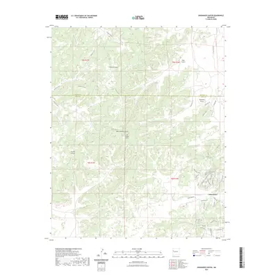
2023 Map of Shoemaker Canyon
USGS Topo · Published 2023About this map
Candy Kitchen anchors this high-desert landscape on the boundary between McKinley and Cibola counties. The area is defined by a complex network of drainages and canyons, including Shoemaker Canyon, Knife Hill Canyon, and Galestina Canyon. An intricate system of Bureau of Indian Affairs routes, such as Indian Svc Rte 15 and Indian Svc Rte 13, navigates the broken terrain, connecting the settlement to secluded landmarks like Aragon Springs. Local road names reflect the human imprint on this remote region, with entries like Indian Ruins Rd, God's Acre Rd, and Old Windmill suggesting a landscape layered with archaeological interest and ranching history. The mapping reveals how modern residential tracks like Nightwalker Trl and Running Bear Rd have been carved into the traditional mesas and draws of the Southwest.
Find a feature on this map
47 named features on this map. Tap any name to fly to it.
Don’t see what you’re looking for? This feature index may not catch every label — zoom into the map to look around manually.
Map Details
Editions of this 2023 Shoemaker Canyon Map
This is the sole edition of this map. No revisions or reprints were ever made.
Other maps of this area

1886 · Wingate
USGS Topo · 1:250,000

1892 · Wingate
USGS Topo · 1:250,000

1954 · Saint Johns
USGS Topo · 1:250,000

1954 · Gallup
USGS Topo · 1:250,000

1957 · Saint Johns
USGS Topo · 1:250,000

1958 · Gallup
USGS Topo · 1:250,000

1958 · Saint Johns
USGS Topo · 1:250,000

1959 · Gallup
USGS Topo · 1:250,000

1962 · Gallup
USGS Topo · 1:250,000

1962 · Saint Johns
USGS Topo · 1:250,000