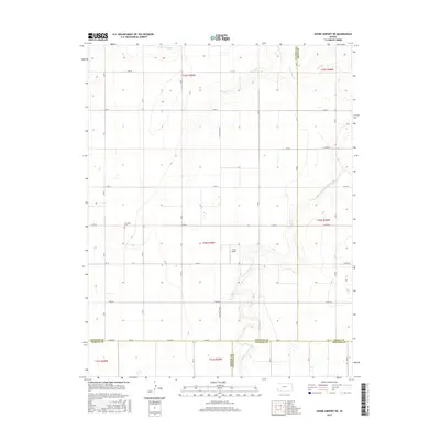
2015 Map of Shore Airport NE
USGS Topo · Published 2015About this map
The N Fork Cimarron River carves a winding path through the southwest corner of this High Plains landscape, where the borders of five Kansas counties—Stanton, Grant, Morton, and Stevens—converge in a complex jurisdictional puzzle. The terrain is defined by a rigid section-line road grid, including named routes like S Big Bow Grade and S RD A, which facilitate transit across the agricultural expanses. Local history is anchored by the Liverpool Cem in the western reaches, while aviation utility is represented by Lucas Airport near the center of the survey. North of the river, the intermittent flow of Sand Arroyo Cr cuts across the northern townships, illustrating the drainage patterns of this semi-arid region before it reaches the main river valley.
Find a feature on this map
42 named features on this map. Tap any name to fly to it.
Don’t see what you’re looking for? This feature index may not catch every label — zoom into the map to look around manually.
Map Details
Editions of this 2015 Shore Airport NE Map
This is the sole edition of this map. No revisions or reprints were ever made.
Other maps of this area

1891 · Larned
USGS Topo · 1:125,000

1900 · Syracuse
USGS Topo · 1:125,000

1900 · Lakin
USGS Topo · 1:125,000

1920 · Syracuse
USGS Topo · 1:125,000

1955 · Dodge City
USGS Topo · 1:250,000

1958 · Dodge City
USGS Topo · 1:250,000

1959 · Dodge City
USGS Topo · 1:250,000

1959 · Big Bow SW
USGS Topo · 1:24,000
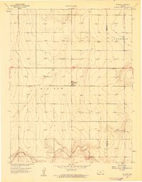
1959 · Big Bow
USGS Topo · 1:24,000
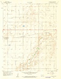
1959 · Ulysses SW
USGS Topo · 1:24,000