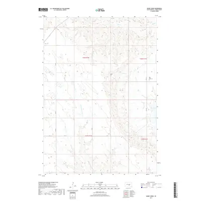
2017 Map of Short Creek
USGS Topo · Published 2017About this map
Lake Francis Case borders the eastern edge of this Lyman County landscape, where the Missouri River valley transitions into the dissected uplands of the Great Plains. The interior is defined by a dense network of intermittent drainages, including Short Cr, De Smet Cr, and the N Fork American Crow Cr, which carve deep draws through the prairie. Rising above these drainages is Lewis Hill, a prominent topographic landmark in a region primarily used for ranching and grazing.
Find a feature on this map
19 named features on this map. Tap any name to fly to it.
Don’t see what you’re looking for? This feature index may not catch every label — zoom into the map to look around manually.
Map Details
Editions of this 2017 Short Creek Map
This is the sole edition of this map. No revisions or reprints were ever made.
Other maps of this area

1935 · Chamberlain
USGS Topo · 1:62,500

1939 · Chamberlain
USGS Topo · 1:62,500

1952 · Reliance SE
USGS Topo · 1:24,000

1952 · Oacoma
USGS Topo · 1:24,000

1953 · Huron
USGS Topo · 1:250,000

1954 · Huron
USGS Topo · 1:250,000

1955 · Mitchell
USGS Topo · 1:250,000

1959 · Mitchell
USGS Topo · 1:250,000

1966 · Big Bend Dam SE
USGS Topo · 1:24,000

1966 · Big Bend Dam
USGS Topo · 1:24,000