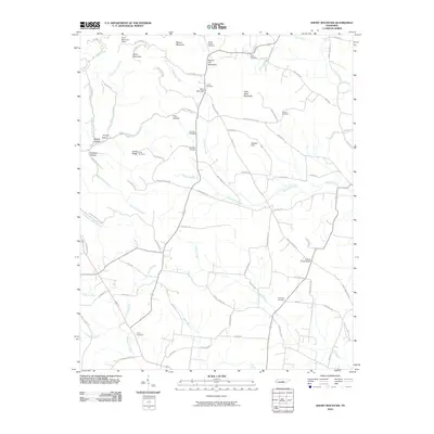
2010 Map of Short Mountain
USGS Topo · Published 2010About this map
Short Mountain and the surrounding Highland Rim topography dominate this 2010 survey of the border between Cannon and Warren Counties. The landscape is defined by its dramatic relief, where the prominent peak rises above named hollows like Mason Hollow and Johnson Hollow. This area is dense with small family cemeteries that offer significant value for genealogical research, including the Grizzle-Gunter Cemetery near the Gap of the Mountain and the Tucker Cemetery in the southern reaches.
Find a feature on this map
93 named features on this map. Tap any name to fly to it.
Don’t see what you’re looking for? This feature index may not catch every label — zoom into the map to look around manually.
Map Details
Editions of this 2010 Short Mountain Map
This is the sole edition of this map. No revisions or reprints were ever made.
Other maps of this area

1893 · Mc Minnville
USGS Topo · 1:125,000

1895 · Mc Minnville
USGS Topo · 1:125,000

1908 · Woodbury
USGS Topo · 1:62,500

1913 · Hollow Springs
USGS Topo · 1:62,500

1936 · Petty Gap
USGS Topo · 1:24,000

1942 · Statesville
USGS Topo · 1:100,000

1943 · Mc Minnville
USGS Topo · 1:100,000

1952 · Centertown
USGS Topo · 1:24,000

1953 · Chattanooga
USGS Topo · 1:250,000

1953 · Centertown
USGS Topo · 1:24,000