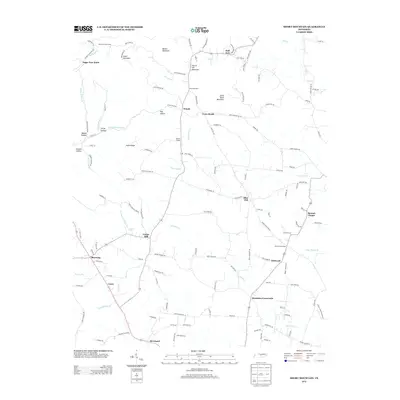
2013 Map of Short Mountain
USGS Topo · Published 2013About this map
Short Mountain and Little Short Mountain anchor this central Tennessee landscape, where the headwaters of the E Fork Stones River and numerous creeks like Mountain Cr and Charles Cr carve out a network of hollows and ridges. The 2013 topography reveals a rural settlement pattern defined by crossroads and family-named landmarks, such as Bratchers Crossroads and Gap of the Mountain. Small communities and gatherings points like Flatwood, Leoni, and the Short Mountain Camp are connected by a web of winding routes including N Short Mountain Rd and Sally Parton Rd. Local spiritual and natural landmarks, from the Osment Chapel to the Rainbow Falls on Parchcorn Hollow Br, provide specific touchpoints for those researching the social and physical geography of this corner of Warren County.
Find a feature on this map
139 named features on this map. Tap any name to fly to it.
Don’t see what you’re looking for? This feature index may not catch every label — zoom into the map to look around manually.
Map Details
Editions of this 2013 Short Mountain Map
This is the sole edition of this map. No revisions or reprints were ever made.
Other maps of this area

1893 · Mc Minnville
USGS Topo · 1:125,000

1895 · Mc Minnville
USGS Topo · 1:125,000

1908 · Woodbury
USGS Topo · 1:62,500

1913 · Hollow Springs
USGS Topo · 1:62,500

1936 · Petty Gap
USGS Topo · 1:24,000

1942 · Statesville
USGS Topo · 1:100,000

1943 · Mc Minnville
USGS Topo · 1:100,000

1952 · Centertown
USGS Topo · 1:24,000

1953 · Chattanooga
USGS Topo · 1:250,000

1953 · Centertown
USGS Topo · 1:24,000