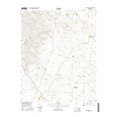
2016 Map of Short Mountain
USGS Topo · Published 2016About this map
Short Mtn and Mason Mtn dominate this portion of the Highland Rim, marking a landscape where high ridges separate the drainages of the E Fork Stones River and Mountain Cr. The terrain is characterized by deep hollows and high gaps, such as Gap of the Mountain and Dug Hollow, which have historically dictated the layout of local roads and farmsteads. Small agricultural settlements like Half Acre, Flatwood, and Bratchers Crossroads are scattered throughout the lowlands, connected by a network of winding roads like Gunter Hollow Rd and Blue Hill Rd.
Find a feature on this map
123 named features on this map. Tap any name to fly to it.
Don’t see what you’re looking for? This feature index may not catch every label — zoom into the map to look around manually.
Map Details
Editions of this 2016 Short Mountain Map
This is the sole edition of this map. No revisions or reprints were ever made.
Other maps of this area

1893 · Mc Minnville
USGS Topo · 1:125,000

1895 · Mc Minnville
USGS Topo · 1:125,000

1908 · Woodbury
USGS Topo · 1:62,500

1913 · Hollow Springs
USGS Topo · 1:62,500

1936 · Petty Gap
USGS Topo · 1:24,000

1942 · Statesville
USGS Topo · 1:100,000

1943 · Mc Minnville
USGS Topo · 1:100,000

1952 · Centertown
USGS Topo · 1:24,000

1953 · Chattanooga
USGS Topo · 1:250,000

1953 · Centertown
USGS Topo · 1:24,000