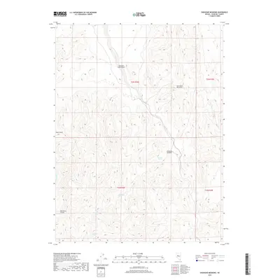
2018 Map of Shoshone Meadows
USGS Topo · Published 2018About this map
Shoshone Meadows sits at the heart of this high-desert landscape in Churchill County, where water is the primary driver of geography and survival. The map highlights a series of vital water sources tucked into the base of the Clan Alpine Mountains, including Big Shoshone Spring, Little Shoshone Spring, and the clustered Shoshone Springs. These perennial points likely served as essential landmarks for early travelers and ranching operations in this arid basin.
Find a feature on this map
13 named features on this map. Tap any name to fly to it.
Don’t see what you’re looking for? This feature index may not catch every label — zoom into the map to look around manually.
Map Details
Editions of this 2018 Shoshone Meadows Map
This is the sole edition of this map. No revisions or reprints were ever made.
Other maps of this area

1955 · Millett
USGS Topo · 1:250,000

1959 · Millett
USGS Topo · 1:250,000

1966 · Clan Alpine Ranch
USGS Topo · 1:62,500

1966 · Humboldt Salt Marsh
USGS Topo · 1:62,500

1966 · Shoshone Meadows
USGS Topo · 1:62,500

1966 · Edwards Creek Valley
USGS Topo · 1:62,500

1983 · Edwards Creek Valley
USGS Topo · 1:100,000
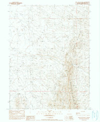
1990 · Hole In The Wall
USGS Topo · 1:24,000
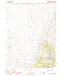
1990 · Bernice Canyon
USGS Topo · 1:24,000
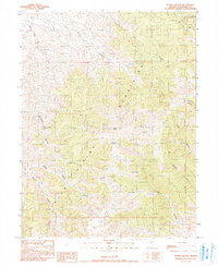
1990 · Byers Canyon
USGS Topo · 1:24,000