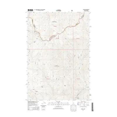
2013 Map of Shoup
USGS Topo · Published 2013About this map
The Salmon National Forest and Bitterroot National Forest converge at the high-altitude boundary between Idaho and Montana. The terrain is defined by dramatic elevation changes, where features like Blue Nose and Beartrap Ridge loom over deep drainage systems. The small settlement of Shoup is positioned along the Salmon River near the junction of China Gulch, serving as a remote outpost in this mountain landscape. In the southern portion of the quadrangle, water resources such as Horsefly Spring and the headwaters of Boulder Cr underscore the area's hydrology. The map captures a complex network of forest roads, including Nat For Dev Rd 044 and Salmon River Rd, which trace the difficult topography of Boulder Basin and Horsefly Gulch. This 2013 survey provides a clear view of the jurisdictional overlaps between Ravalli Co and Lemhi Co.
Find a feature on this map
44 named features on this map. Tap any name to fly to it.
Don’t see what you’re looking for? This feature index may not catch every label — zoom into the map to look around manually.
Map Details
Editions of this 2013 Shoup Map
This is the sole edition of this map. No revisions or reprints were ever made.
Other maps of this area

1956 · Elk City
USGS Topo · 1:250,000

1960 · Elk City
USGS Topo · 1:250,000

1960 · Painted Rocks Lake
USGS Topo · 1:62,500

1960 · Ulysses Mtn
USGS Topo · 1:62,500

1960 · Shoup
USGS Topo · 1:62,500

1960 · Piquett Mountain
USGS Topo · 1:62,500

1982 · Bighorn Crags
USGS Topo · 1:100,000

1991 · Horse Creek Pass
USGS Topo · 1:24,000
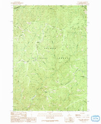
1991 · Tincup Hill
USGS Topo · 1:24,000
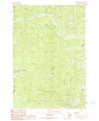
1991 · Henderson Ridge
USGS Topo · 1:24,000