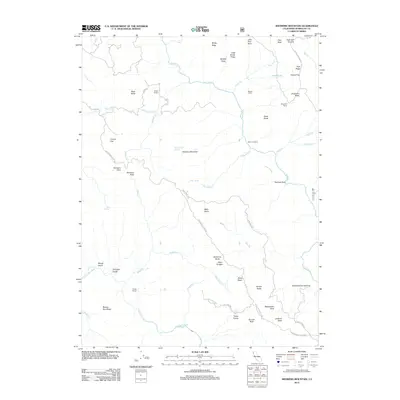
2012 Map of Showers Mountain
USGS Topo · Published 2012About this map
Showers Mountain and its surrounding drainages define this portion of Humboldt County, where the north-flowing Mad River and the Van Duzen River carve through the landscape. This 2012 survey captures a rural territory characterized by long-established family homesteads and ranching sites, including Stapp Ranch, Ackley Ranch, and the Singleton Ranch. The presence of Becham Cabin and the Schoolhouse Opening suggests a history of remote settlement and early local education in the foothills. High points such as Windy Ridge and Pilot Ridge overlook a network of seasonal creeks and springs like Indian Spring and Government Spring. Navigation through this area relies on historic passages like Showers Pass and river landmarks such as Olsen Crossing, reflecting a geography where movement is dictated by the steep ridges and narrow valleys of Northern California.
Find a feature on this map
59 named features on this map. Tap any name to fly to it.
Don’t see what you’re looking for? This feature index may not catch every label — zoom into the map to look around manually.
Map Details
Editions of this 2012 Showers Mountain Map
This is the sole edition of this map. No revisions or reprints were ever made.
Other maps of this area

1914 · Pilot Creek
USGS Topo · 1:62,500

1915 · Big Bar and Vicinity
USGS Topo · 1:250,000

1921 · Dyerville
USGS Topo · 1:62,500

1922 · Kneeland
USGS Topo · 1:62,500

1949 · Blocksburg
USGS Topo · 1:62,500

1949 · Weott
USGS Topo · 1:62,500

1950 · Iaqua Buttes
USGS Topo · 1:62,500

1951 · Weott
USGS Topo · 1:62,500

1951 · Blocksburg
USGS Topo · 1:62,500

1951 · Pilot Creek
USGS Topo · 1:62,500