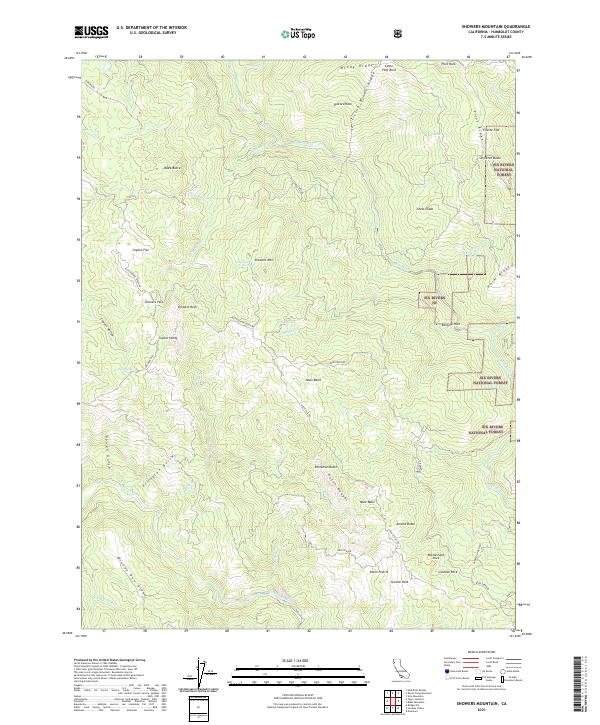
2021 Map of Showers Mountain
USGS Topo · Published 2021About this map
Six Rivers National Forest dominates this section of the North Coast Ranges, where high ridges and deep river canyons define the Humboldt County landscape. The Mad River carves through the northern portion of the quadrangle, while the southern reaches are marked by the protected waters of the Eel Wild and Scenic River. This area is characterized by a series of prominent peaks and geological formations, including Showers Mtn, Singleton Butte, and Amelia Butte. Historically, these mountains have been navigated via remote routes like Showers Pass and the Rattlesnake Ridge Rd. The map reveals a complex network of drainage basins, from Mule Basin to Coyote Valley, supporting an environment where landmarks like Suicide Rock and Spotted Rock served as essential navigation points for early foresters and travelers through the rugged terrain.
Find a feature on this map
67 named features on this map. Tap any name to fly to it.
Don’t see what you’re looking for? This feature index may not catch every label — zoom into the map to look around manually.
Map Details
Editions of this 2021 Showers Mountain Map
This is the sole edition of this map. No revisions or reprints were ever made.
Other maps of this area

1914 · Pilot Creek
USGS Topo · 1:62,500

1915 · Big Bar and Vicinity
USGS Topo · 1:250,000

1921 · Dyerville
USGS Topo · 1:62,500

1922 · Kneeland
USGS Topo · 1:62,500

1949 · Blocksburg
USGS Topo · 1:62,500

1949 · Weott
USGS Topo · 1:62,500

1950 · Iaqua Buttes
USGS Topo · 1:62,500

1951 · Weott
USGS Topo · 1:62,500

1951 · Blocksburg
USGS Topo · 1:62,500

1951 · Pilot Creek
USGS Topo · 1:62,500