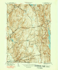
1943 Map of Shutesbury
USGS Topo · Published 1951About this map
Shutesbury and its surrounding hill towns are captured here at the start of the 1940s, a period marked by the immense presence of the newly formed Quabbin Reservoir along the eastern edge of the quadrangle. The map reveals the intricate network of brooks and reservoirs that define the Hampshire and Franklin County borderlands, including Atkins Reservoir and Baker Reservoir. This era shows a landscape of small, dispersed settlements and family-named terrain, where old roads like Montague Road and Pelham Hill Road connect rural nodes such as Moores Corner and Cooleyville. The distribution of local landmarks like West Cem, Valley Cem, and the Rhodes Sch provides a valuable record of community life and genealogy in the uplands between the Swift River and the Amherst area, documenting the region's character just as the Quabbin was transforming the local geography.
Find a feature on this map
63 named features on this map. Tap any name to fly to it.
Don’t see what you’re looking for? This feature index may not catch every label — zoom into the map to look around manually.
Map Details
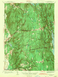
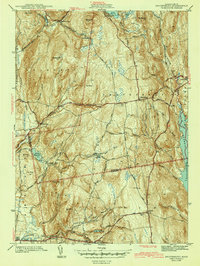
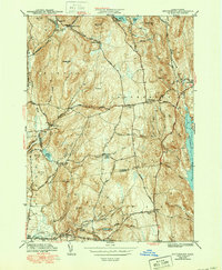
Editions of this 1943 Shutesbury Map
4 editions found
Other maps of this area

1885 · Northampton
USGS Topo · 1:62,500

1886 · Northampton
USGS Topo · 1:62,500

1887 · Warwick
USGS Topo · 1:62,500

1887 · Belchertown
USGS Topo · 1:62,500

1889 · Warwick
USGS Topo · 1:62,500

1890 · Belchertown
USGS Topo · 1:62,500

1890 · Greenfield
USGS Topo · 1:62,500

1891 · Northampton
USGS Topo · 1:62,500

1893 · Northampton
USGS Topo · 1:62,500

1893 · Belchertown
USGS Topo · 1:62,500