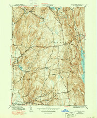
1943 Map of Shutesbury
USGS Topo · Published 1951About this map
The Quabbin Reservoir shoreline dominates the eastern edge of this landscape, marking a period of massive hydrological change for the Shutesbury and Pelham region. The terrain is defined by a series of north-south ridges and hills including Brushy Mtn, Mt Mineral, and Morse Hill, which separate the various brook systems that feed the larger reservoirs. Small clusters of habitation are scattered throughout the interior, from Dudleyville in the north to the mineral springs of Orient Springs in the south.
Find a feature on this map
67 named features on this map. Tap any name to fly to it.
Don’t see what you’re looking for? This feature index may not catch every label — zoom into the map to look around manually.
Map Details
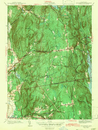
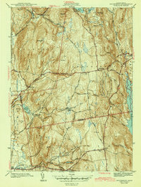
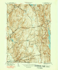
Editions of this 1943 Shutesbury Map
4 editions found
Other maps of this area

1885 · Northampton
USGS Topo · 1:62,500

1886 · Northampton
USGS Topo · 1:62,500

1887 · Warwick
USGS Topo · 1:62,500

1887 · Belchertown
USGS Topo · 1:62,500

1889 · Warwick
USGS Topo · 1:62,500

1890 · Belchertown
USGS Topo · 1:62,500

1890 · Greenfield
USGS Topo · 1:62,500

1891 · Northampton
USGS Topo · 1:62,500

1893 · Northampton
USGS Topo · 1:62,500

1893 · Belchertown
USGS Topo · 1:62,500