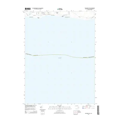
2015 Map of Siasconset OE S
USGS Topo · Published 2015About this map
Surfside and the southern coast of Nantucket define this 2015 maritime survey, documenting the island's fragile shoreline where the land meets the Atlantic Ocean. The map captures the residential and seasonal layout of the south shore, showing the street grids of Surfside and the transition into more open coastal terrain. Coastal features like Miacomet Pond provide a distinct contrast to the expansive beaches of Miacomet Beach, Surfside Beach, and Nobadeer Beach.
Find a feature on this map
24 named features on this map. Tap any name to fly to it.
Don’t see what you’re looking for? This feature index may not catch every label — zoom into the map to look around manually.
Map Details
Editions of this 2015 Siasconset OE S Map
This is the sole edition of this map. No revisions or reprints were ever made.
Other maps of this area

1889 · Nantucket
USGS Topo · 1:62,500

1893 · Nantucket
USGS Topo · 1:62,500

1901 · Nantucket
USGS Topo · 1:62,500

1942 · Nantucket
USGS Topo · 1:125,000

1945 · Nantucket
USGS Topo · 1:31,680

1945 · Siasconset
USGS Topo · 1:31,680

1947 · Providence
USGS Topo · 1:250,000

1948 · Providence
USGS Topo · 1:250,000
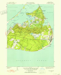
1951 · Siasconset
USGS Topo · 1:31,680
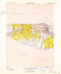
1951 · Nantucket
USGS Topo · 1:31,680