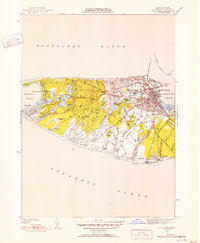
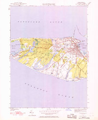
1951 Map of Nantucket
USGS Topo · Published 1951About this map
Nantucket Island's intricate shoreline and glacial topography are captured here in detail, from the barrier beach at Eel Point to the town's dense street grid. The 1951 revision shows the developed hub of Nantucket concentrated between the West Jetty and the southern marshlands, surrounded by a ring of traditional burial grounds including Old North Cem and Prospect Hill Cem. The interior landscape reveals a mosaic of heathland and kettle ponds, such as the oddly named Rotten Pumpkin Pond and the expansive Hummock Pond. Modern infrastructure of the mid-century era is visible in the Homing Facility Station near the south shore and the Sewage Disposal site at Surfside. The map also preserves the paths of historic thoroughfares like Maddaket Road and Lovers Lane, which connected isolated outposts like Warren Landing to the main settlement.
Find a feature on this map
74 named features on this map. Tap any name to fly to it.
Don’t see what you’re looking for? This feature index may not catch every label — zoom into the map to look around manually.
Map Details
Editions of this 1951 Nantucket Map
5 editions found
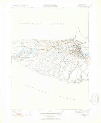
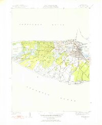
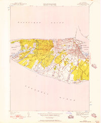
Other maps of this area

1887 · Muskeget
USGS Topo · 1:62,500

1889 · Muskeget
USGS Topo · 1:62,500

1889 · Nantucket
USGS Topo · 1:62,500

1893 · Nantucket
USGS Topo · 1:62,500

1893 · Muskeget
USGS Topo · 1:62,500

1899 · Muskeget
USGS Topo · 1:62,500

1901 · Nantucket
USGS Topo · 1:62,500

1942 · Nantucket
USGS Topo · 1:125,000

1944 · Tuckernuck Island
USGS Topo · 1:31,680

1945 · Nantucket
USGS Topo · 1:31,680