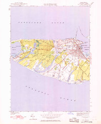
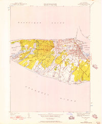
1951 Map of Nantucket
USGS Topo · Published 1968About this map
Nantucket town and its surrounding coastal outwash plains appear here following a 1951 revision of earlier 1940s fieldwork. The settlement pattern is concentrated in the historic core near Nantucket Harbor, where a dense network of streets like Orange St and West Chester St meets the East Jetty. The map documents numerous civic and religious sites, including the Cyrus Pierce Sch and several burial grounds such as Old North Cem and Friends Cem.
Find a feature on this map
81 named features on this map. Tap any name to fly to it.
Don’t see what you’re looking for? This feature index may not catch every label — zoom into the map to look around manually.
Map Details
Editions of this 1951 Nantucket Map
5 editions found
Other maps of this area

1887 · Muskeget
USGS Topo · 1:62,500

1889 · Muskeget
USGS Topo · 1:62,500

1889 · Nantucket
USGS Topo · 1:62,500

1893 · Nantucket
USGS Topo · 1:62,500

1893 · Muskeget
USGS Topo · 1:62,500

1899 · Muskeget
USGS Topo · 1:62,500

1901 · Nantucket
USGS Topo · 1:62,500

1942 · Nantucket
USGS Topo · 1:125,000

1944 · Tuckernuck Island
USGS Topo · 1:31,680

1945 · Nantucket
USGS Topo · 1:31,680