
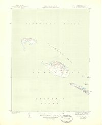
1944 Map of Tuckernuck Island
USGS Topo · Published 1944About this map
Tuckernuck Island and Muskeget Island anchor this coastal survey, which depicts the precarious landforms west of Nantucket during the mid-1940s. The landscape is defined by the shifting interface of Nantucket Sound and the Atlantic Ocean, where shoals and narrow waterways dictate the geography. On Tuckernuck Island, interior features like North Pond and East Pond contrast with the exposed coastal stretches.
Find a feature on this map
18 named features on this map. Tap any name to fly to it.
Don’t see what you’re looking for? This feature index may not catch every label — zoom into the map to look around manually.
Map Details
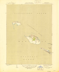
Editions of this 1944 Tuckernuck Island Map
3 editions found
Other maps of this area

1887 · Muskeget
USGS Topo · 1:62,500

1889 · Muskeget
USGS Topo · 1:62,500

1893 · Muskeget
USGS Topo · 1:62,500

1899 · Muskeget
USGS Topo · 1:62,500

1942 · Nantucket
USGS Topo · 1:125,000

1945 · Nantucket
USGS Topo · 1:31,680

1947 · Providence
USGS Topo · 1:250,000

1948 · Providence
USGS Topo · 1:250,000
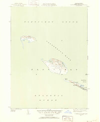
1951 · Tuckernuck Island
USGS Topo · 1:31,680
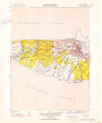
1951 · Nantucket
USGS Topo · 1:31,680