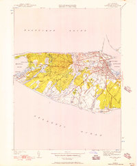
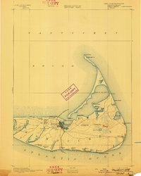
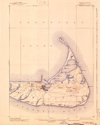
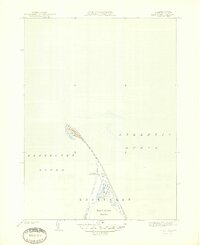
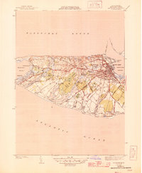
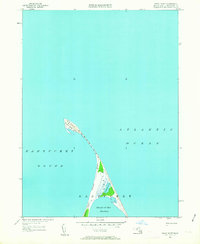
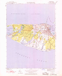
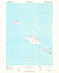
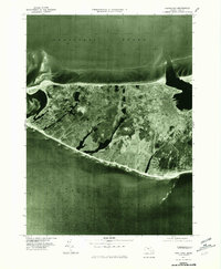
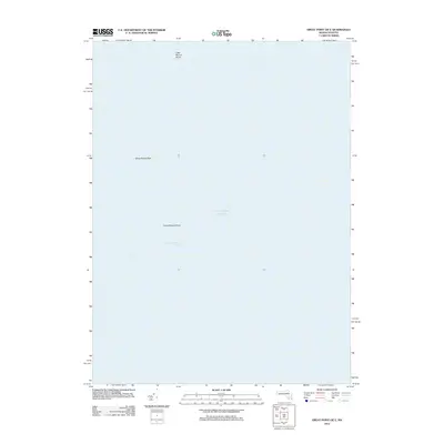
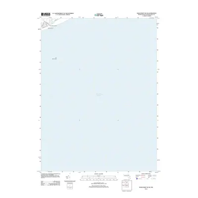
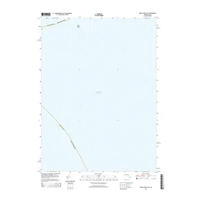
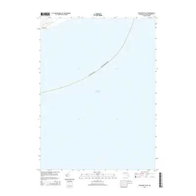
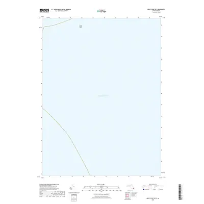
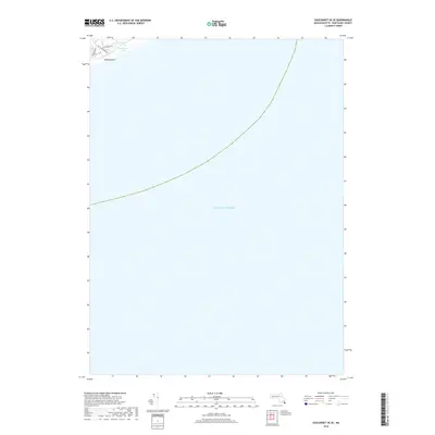
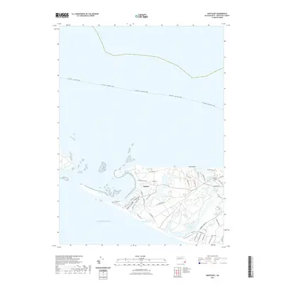
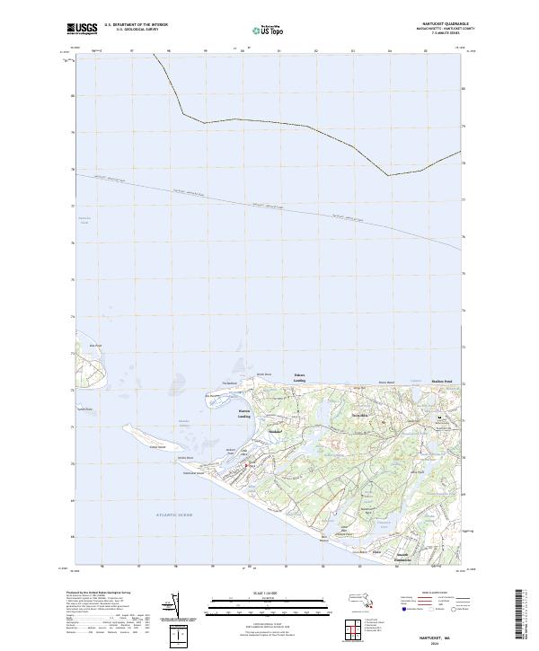
1951 Map of Nantucket
USGS Topo · Published 1957About this map
Nantucket Island is captured here during the mid-century, showcasing a landscape defined by its coastal wetlands and burgeoning town center. The detailed street grid of Nantucket town reveals established civic markers like the Cyrus Peirce Sch and a cluster of resting places including Old North Cem and Prospect Hill Cem. To the west, the topography shifts to a network of elongated ponds such as Long Pond and Hummock Pond, separating the main settlement from the remote outpost at Maddaket.
Find a feature on this map
70 named features on this map. Tap any name to fly to it.
Don’t see what you’re looking for? This feature index may not catch every label — zoom into the map to look around manually.
Map Details
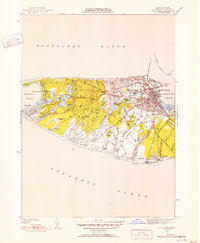
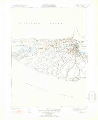
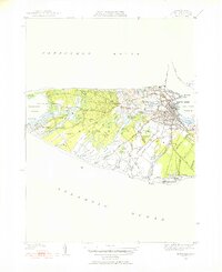
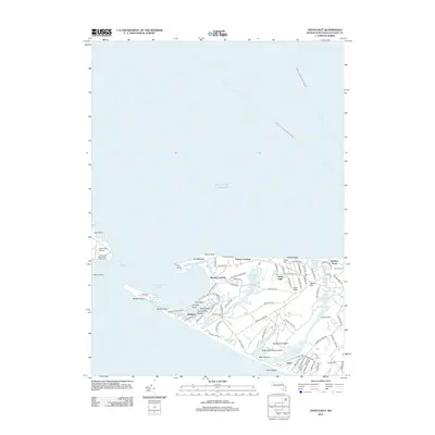
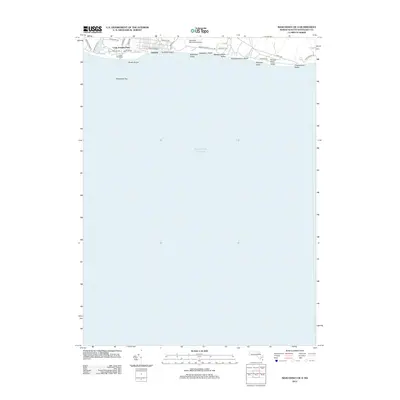
Editions of this 1951 Nantucket Map
5 editions found
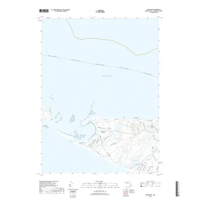
Historical Maps of Nantucket Through Time
60 maps found

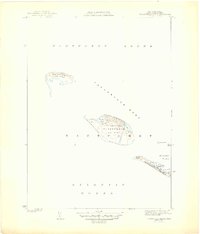
1887 Muskeget
Nantucket County, MA

1889 Muskeget
Nantucket County, MA

1889 Nantucket
Nantucket County, MA

1893 Muskeget
Nantucket County, MA
1893 Nantucket
Nantucket County, MA
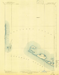
1899 Muskeget
Nantucket County, MA
1901 Nantucket
Nantucket County, MA

1942 Nantucket
Nantucket County, MA
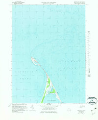
1944 Tuckernuck Island
Nantucket County, MA
1945 Great Point
Nantucket County, MA
1945 Nantucket
Nantucket County, MA
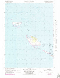
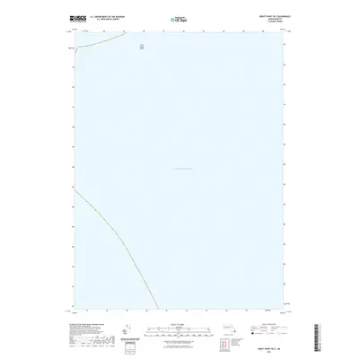
1951 Great Point
Nantucket County, MA
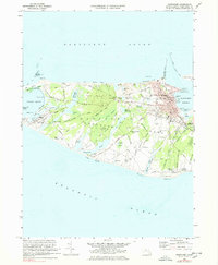
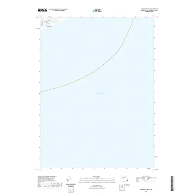
1951 Nantucket
Nantucket County, MA
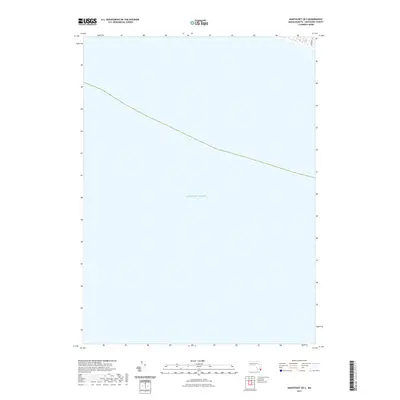
1951 Tuckernuck Island
Nantucket County, MA
1972 Great Point
Nantucket County, MA
1972 Nantucket
Nantucket County, MA
1972 Tuckernuck Island
Nantucket County, MA
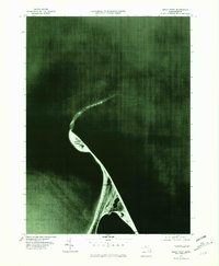
1977 Great Point
Nantucket County, MA
1977 Nantucket
Nantucket County, MA
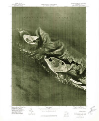
1977 Tuckernuck Island
Nantucket County, MA
2012 Great Point
Nantucket County, MA
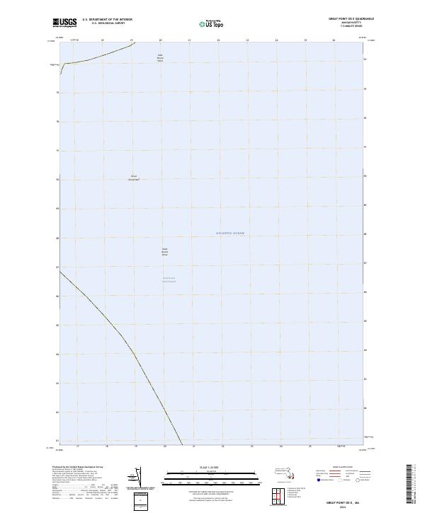
2012 Great Point OE E
Nantucket County, MA
2012 Nantucket
Nantucket County, MA
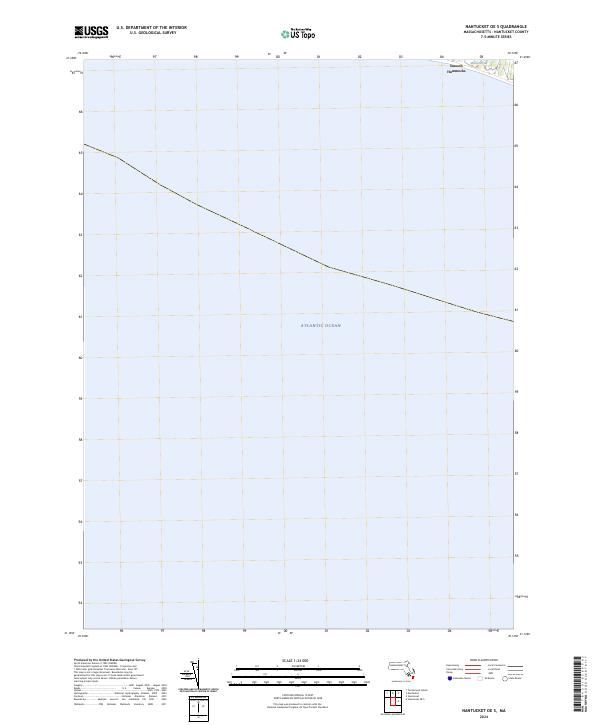
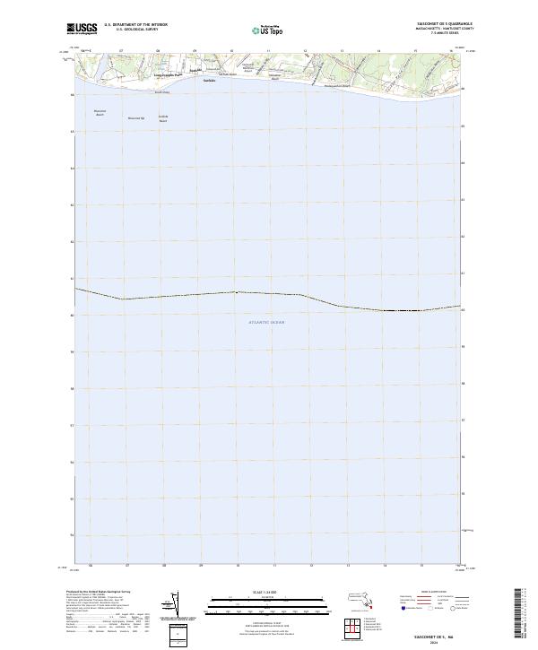
2012 Nantucket OE S
Nantucket County, MA
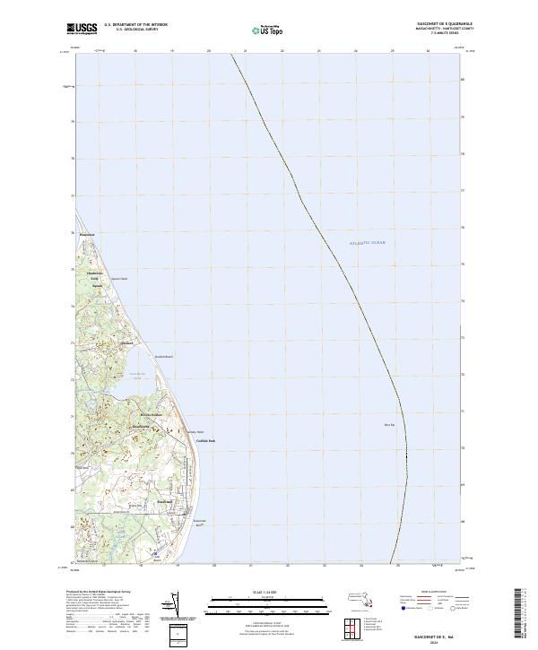
2012 Siasconset OE E
Nantucket County, MA
2012 Siasconset OE SE
Nantucket County, MA
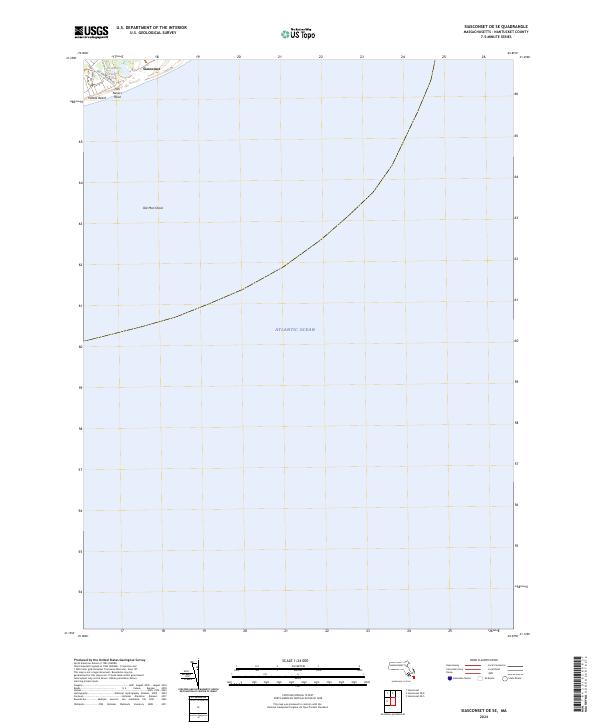
2012 Siasconset OE S
Nantucket County, MA
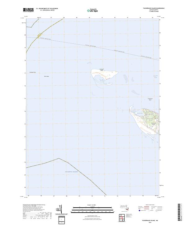
2012 Tuckernuck Island
Nantucket County, MA
2015 Great Point
Nantucket County, MA
2015 Great Point OE E
Nantucket County, MA
2015 Nantucket
Nantucket County, MA
2015 Nantucket OE S
Nantucket County, MA
2015 Siasconset OE E
Nantucket County, MA
2015 Siasconset OE SE
Nantucket County, MA
2015 Siasconset OE S
Nantucket County, MA
2015 Tuckernuck Island
Nantucket County, MA
2018 Great Point
Nantucket County, MA
2018 Great Point OE E
Nantucket County, MA
2018 Nantucket
Nantucket County, MA
2018 Nantucket OE S
Nantucket County, MA
2018 Siasconset OE E
Nantucket County, MA
2018 Siasconset OE SE
Nantucket County, MA
2018 Siasconset OE S
Nantucket County, MA
2018 Tuckernuck Island
Nantucket County, MA
2021 Great Point
Nantucket County, MA
2021 Great Point OE E
Nantucket County, MA
2021 Nantucket
Nantucket County, MA
2021 Nantucket OE S
Nantucket County, MA
2021 Siasconset OE E
Nantucket County, MA
2021 Siasconset OE SE
Nantucket County, MA
2021 Siasconset OE S
Nantucket County, MA
2021 Tuckernuck Island
Nantucket County, MA
2024 Great Point
Nantucket County, MA
2024 Great Point OE E
Nantucket County, MA
2024 Nantucket
Nantucket County, MA
2024 Nantucket OE S
Nantucket County, MA
2024 Siasconset OE E
Nantucket County, MA
2024 Siasconset OE SE
Nantucket County, MA
2024 Siasconset OE S
Nantucket County, MA
2024 Tuckernuck Island
Nantucket County, MA