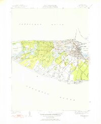
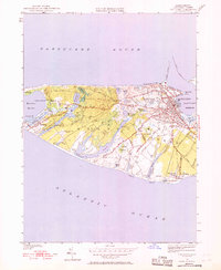
1951 Map of Nantucket
USGS Topo · Published 1952About this map
Nantucket serves as the hub of this 1951 revision, showing the town's density and street grid just after the mid-century. The map captures the island's interior and shoreline, illustrating a landscape defined by expansive pastures and coastal ponds. Notable family and historical sites include the Old North Cem and St Marys Cem, alongside local landmarks like the Cyrus Peirce Sch. Inland, the terrain is marked by features like Swain Hill and Larraby Swamp, which dictate the winding paths of the island's road network.
Find a feature on this map
77 named features on this map. Tap any name to fly to it.
Don’t see what you’re looking for? This feature index may not catch every label — zoom into the map to look around manually.
Map Details
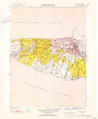
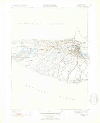
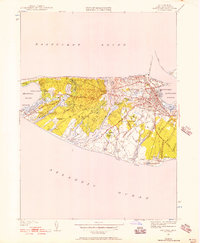
Editions of this 1951 Nantucket Map
5 editions found
Other maps of this area

1887 · Muskeget
USGS Topo · 1:62,500

1889 · Muskeget
USGS Topo · 1:62,500

1889 · Nantucket
USGS Topo · 1:62,500

1893 · Nantucket
USGS Topo · 1:62,500

1893 · Muskeget
USGS Topo · 1:62,500

1899 · Muskeget
USGS Topo · 1:62,500

1901 · Nantucket
USGS Topo · 1:62,500

1942 · Nantucket
USGS Topo · 1:125,000

1944 · Tuckernuck Island
USGS Topo · 1:31,680

1945 · Nantucket
USGS Topo · 1:31,680