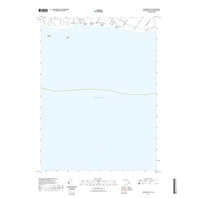
2021 Map of Siasconset OE S
USGS Topo · Published 2021About this map
The south-facing shoreline of Nantucket Island takes center stage on this survey, where the Atlantic coast meets a series of glacial valleys and seasonal ponds. Broad coastal stretches including Miacomet Beach, Surfside Beach, and Nobadeer Beach define the land-sea interface, backed by a network of residential roads like S Shore Rd and Pochick Ave. The terrain is marked by a distinctive sequence of topographic depressions running toward the ocean, such as Nobadeer Valley, Madequecham Valley, and Wigwam Valley. Inland, the footprint of the Nantucket Memorial Airport sits adjacent to these natural features, representing the island's primary connection to the mainland. Smaller hydrological features like Weweeder Ponds provide a glimpse into the delicate freshwater ecosystems that persist just behind the primary dunes in this coastal landscape.
Find a feature on this map
28 named features on this map. Tap any name to fly to it.
Don’t see what you’re looking for? This feature index may not catch every label — zoom into the map to look around manually.
Map Details
Editions of this 2021 Siasconset OE S Map
This is the sole edition of this map. No revisions or reprints were ever made.
Other maps of this area

1889 · Nantucket
USGS Topo · 1:62,500

1893 · Nantucket
USGS Topo · 1:62,500

1901 · Nantucket
USGS Topo · 1:62,500

1942 · Nantucket
USGS Topo · 1:125,000

1945 · Nantucket
USGS Topo · 1:31,680

1945 · Siasconset
USGS Topo · 1:31,680

1947 · Providence
USGS Topo · 1:250,000

1948 · Providence
USGS Topo · 1:250,000
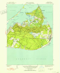
1951 · Siasconset
USGS Topo · 1:31,680
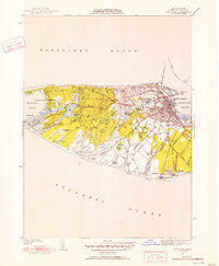
1951 · Nantucket
USGS Topo · 1:31,680