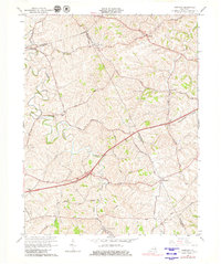
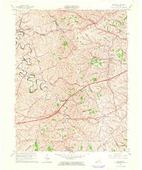
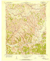
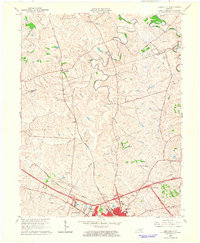
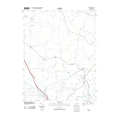
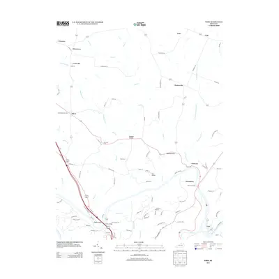
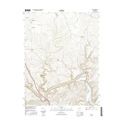
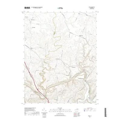
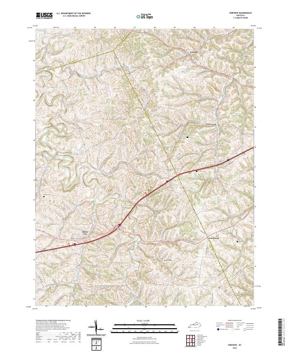
1965 Map of Sideview
USGS Topo · Published 1980About this map
Stoner Creek and its many tributaries, including Little Stoner Creek and Cabin Creek, carve through the rolling landscape of this Central Kentucky region. This mid-1960s survey captures a transition point in rural life where small family-named locales like Wades Mill and Sewell Shop remain prominent landmarks alongside established agricultural roads. The map provides significant genealogical value, noting several rural sanctuaries such as Mt Carmel Ch, Donaldson Ch, and Goshen Ch, along with family burial sites like Prewitt Cem and French Cem.
Find a feature on this map
44 named features on this map. Tap any name to fly to it.
Don’t see what you’re looking for? This feature index may not catch every label — zoom into the map to look around manually.
Map Details
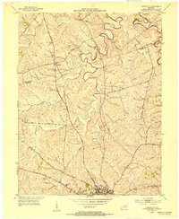
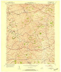
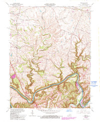
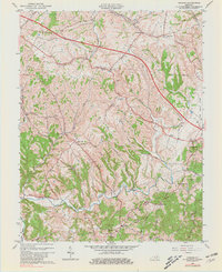
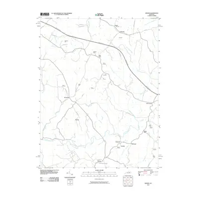
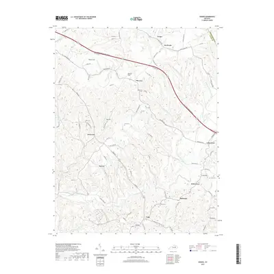
Editions of this 1965 Sideview Map
2 editions found
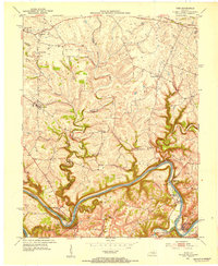
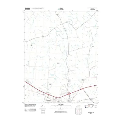
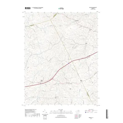
Historical Maps of Thomson Through Time
30 maps found
1952 Austerlitz
Clark County, KY
1952 Ford
Clark County, KY
1952 Hedges
Clark County, KY
1952 Sideview
Clark County, KY
1954 Owen
Clark County, KY
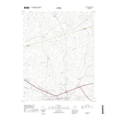
1959 Austerlitz
Clark County, KY
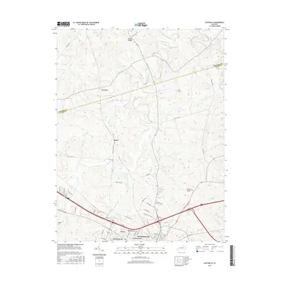
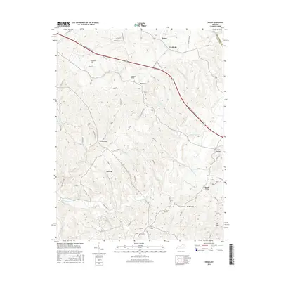
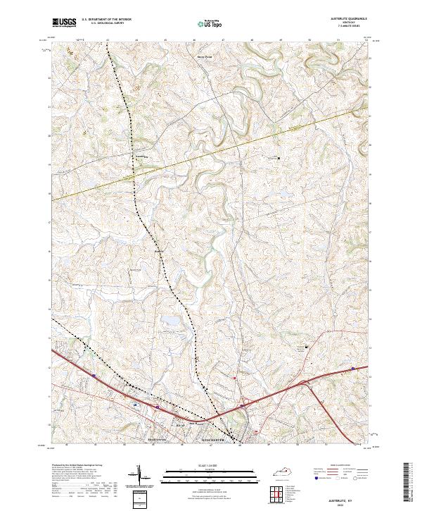
1965 Austerlitz
Clark County, KY
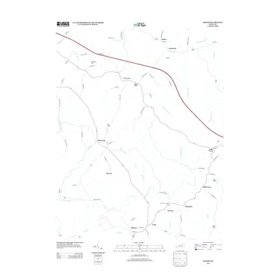
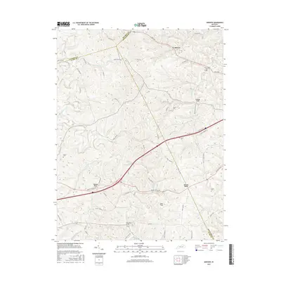
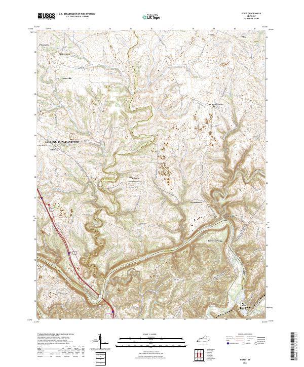
1965 Ford
Clark County, KY
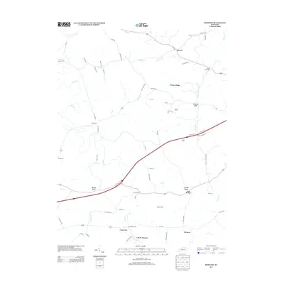
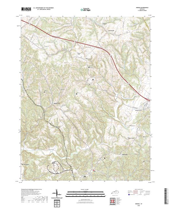
1965 Hedges
Clark County, KY
1965 Sideview
Clark County, KY
2010 Austerlitz
Clark County, KY
2010 Ford
Clark County, KY
2010 Hedges
Clark County, KY
2010 Sideview
Clark County, KY
2013 Austerlitz
Clark County, KY
2013 Ford
Clark County, KY
2013 Hedges
Clark County, KY
2013 Sideview
Clark County, KY
2016 Austerlitz
Clark County, KY
2016 Ford
Clark County, KY
2016 Hedges
Clark County, KY
2016 Sideview
Clark County, KY
2019 Austerlitz
Clark County, KY
2019 Ford
Clark County, KY
2019 Hedges
Clark County, KY
2019 Sideview
Clark County, KY
2022 Austerlitz
Clark County, KY
2022 Ford
Clark County, KY
2022 Hedges
Clark County, KY
2022 Sideview
Clark County, KY