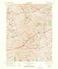
1965 Map of Sideview
USGS Topo · Published 1966About this map
The rolling Bluegrass country at the border of Clark, Bourbon, and Montgomery counties is defined by the winding course of Stoner Creek and its many tributaries, including Goose Creek and Cabin Creek. This mid-century survey reveals a rural landscape anchored by historic crossroads and small settlements such as Sideview, Donaldson, and Wades Mill. The southeastern corner of the map features the Chesapeake and Ohio railroad corridor, where the L & E Junction and the community of Thomson served as local transit points. Researchers can trace numerous family-named landmarks and infrastructure, from Sewell Shop and its associated Sewell Shop Road to scattered burial grounds like Prewitt Cem and French Cem. The presence of a Quarry and a Radio Tower indicate the blend of traditional agricultural life and emerging local industry during this period.
Find a feature on this map
30 named features on this map. Tap any name to fly to it.
Don’t see what you’re looking for? This feature index may not catch every label — zoom into the map to look around manually.
Map Details
Editions of this 1965 Sideview Map
2 editions found
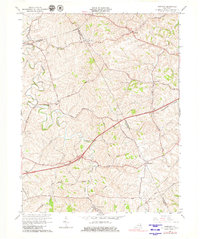
Other maps of this area

1892 · Richmond
USGS Topo · 1:125,000

1892 · Beattyville
USGS Topo · 1:125,000

1897 · Richmond
USGS Topo · 1:125,000

1950 · Levee
USGS Topo · 1:24,000

1952 · Sharpsburg
USGS Topo · 1:24,000

1952 · Paris East
USGS Topo · 1:24,000

1952 · Mount Sterling
USGS Topo · 1:24,000

1952 · Austerlitz
USGS Topo · 1:24,000

1952 · North Middletown
USGS Topo · 1:24,000

1952 · Levee
USGS Topo · 1:24,000