Loading...
Loading map...2022 Map of Sierra Blanca
USGS Topo · Published 2022About this map
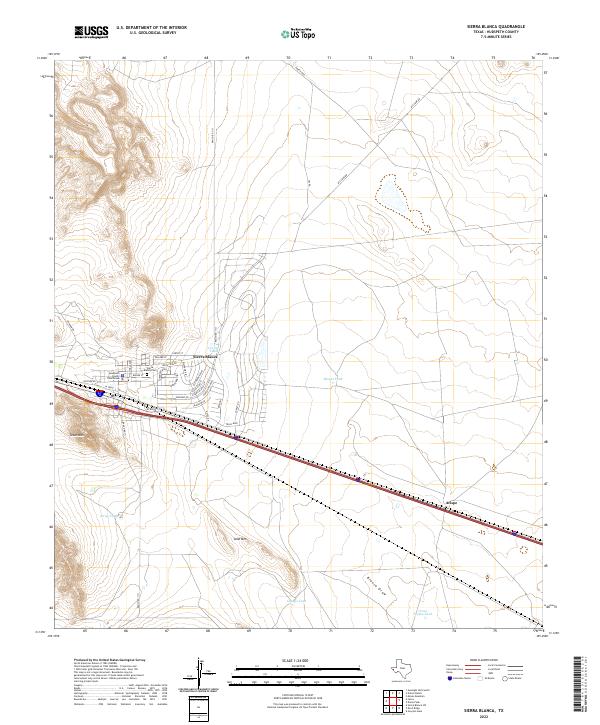
Sierra Blanca serves as the focal point of this high-desert landscape, anchored by the Hudspeth County Courthouse and the nearby Sierra Blanca Cem. The street grid reflects a planned community with avenues named for regional geography and history, including Rio Grande Blvd and Coronado Blvd. The terrain is punctuated by isolated peaks like Texan Mtn and Sand Mtn, which rise above the surrounding flats and drainage systems like Blanca Draw.
Find a feature on this map
37 named features on this map. Tap any name to fly to it.
Don’t see what you’re looking for? This feature index may not catch every label — zoom into the map to look around manually.
Map Details
Date Portrayed2022
Date Published2022
PublisherU.S. Geological Survey
Map TypeTopographic
Scale1:24000
Physical Dimensions24 x 29 inches
Editions of this 2022 Sierra Blanca Map
This is the sole edition of this map. No revisions or reprints were ever made.
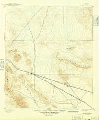
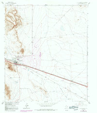
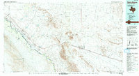
Historical Maps of Arispe Through Time
4 maps found
Featured Locations
Source Details
SourceU.S. Geological Survey
CopyrightPublic Domain