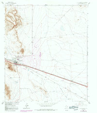
1964 Map of Sierra Blanca
USGS Topo · Published 1992About this map
Sierra Blanca serves as the focal point of this West Texas landscape, positioned at the convergence of vital transportation corridors. The Southern Pacific railroad and major highways parallel each other along the base of Texan Mountain, highlighting the area's role as a transit hub through the desert. Outside the town center, a Golf Course and a Trailer Park represent 1970s-era developments within the arid basin, while a Landing Strip near the Paskin Ranch indicates the region's reliance on private aviation.
Find a feature on this map
18 named features on this map. Tap any name to fly to it.
Don’t see what you’re looking for? This feature index may not catch every label — zoom into the map to look around manually.
Map Details
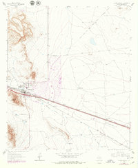
Editions of this 1964 Sierra Blanca Map
3 editions found
Other maps of this area

1895 · Sierra Blanca
USGS Topo · 1:125,000

1948 · Triple Hill
USGS Topo · 1:62,500

1954 · Van Horn
USGS Topo · 1:250,000

1958 · Van Horn
USGS Topo · 1:250,000
1963 · Grayton Lake
USGS Topo · 1:24,000

1964 · Devil Ridge
USGS Topo · 1:24,000

1964 · Dome Peak
USGS Topo · 1:24,000

1964 · Lasca
USGS Topo · 1:24,000

1964 · Sierra Blanca SW
USGS Topo · 1:24,000
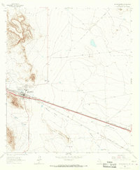
1964 · Sierra Blanca
USGS Topo · 1:24,000