
1964 Map of Lasca
USGS Topo · Published 1967About this map
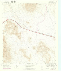
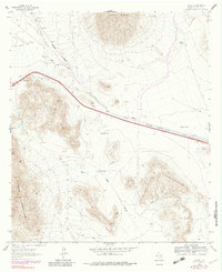
Sierra Blanca dominates the northern horizon of this West Texas landscape, where the high desert terrain of the Quitman Mountains meets the infrastructure of the mid-20th century. The central corridor is defined by the Texas and Pacific railroad line, which runs parallel to the modern highway through a gap in the hills. This transit-heavy layout highlights the area's role as a vital passage between mountains, evidenced by the presence of a Roadside Park and the small settlement of Etholen.
Find a feature on this map
20 named features on this map. Tap any name to fly to it.
Don’t see what you’re looking for? This feature index may not catch every label — zoom into the map to look around manually.
Map Details
Editions of this 1964 Lasca Map
Other maps of this area

1894 · Fort Hancock
USGS Topo · 1:125,000

1895 · Sierra Blanca
USGS Topo · 1:125,000

1943 · Fort Quitman
USGS Topo · 1:62,500

1943 · Finlay Mountains
USGS Topo · 1:62,500

1948 · Triple Hill
USGS Topo · 1:62,500

1954 · Van Horn
USGS Topo · 1:250,000

1958 · Van Horn
USGS Topo · 1:250,000

1964 · Devil Ridge
USGS Topo · 1:24,000

1964 · Sierra Blanca SW
USGS Topo · 1:24,000
1964 · Sierra Blanca
USGS Topo · 1:24,000