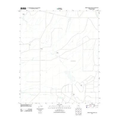
2011 Map of Sierra Bonita Ranch
USGS Topo · Published 2011About this map
Sierra Bonita Ranch anchor this landscape in Graham County, representing a historical pattern of high-desert ranching and water management in the American Southwest. The map reveals a network of vital water sources and drainage features, including Aravaipa Creek in the north and a system of southern waterways such as Ash Creek and Horton Creek. These riparian corridors are essential to the survival of the isolated outposts found here, such as the Standsbury Ranch and Red Corral.
Find a feature on this map
18 named features on this map. Tap any name to fly to it.
Don’t see what you’re looking for? This feature index may not catch every label — zoom into the map to look around manually.
Map Details
Editions of this 2011 Sierra Bonita Ranch Map
This is the sole edition of this map. No revisions or reprints were ever made.
Other maps of this area

1922 · Willcox
USGS Topo · 1:125,000

1940 · Sierra Bonita Ranch
USGS Topo · 1:62,500

1942 · Sierra Bonita Ranch
USGS Topo · 1:62,500

1942 · Mt. Graham
USGS Topo · 1:62,500

1943 · Willcox
USGS Topo · 1:62,500

1943 · Sierra Bonita Ranch
USGS Topo · 1:62,500

1943 · Winchester Mts.
USGS Topo · 1:62,500

1945 · Mt. Graham
USGS Topo · 1:62,500

1945 · Winchester Mts.
USGS Topo · 1:62,500

1954 · Silver City
USGS Topo · 1:250,000