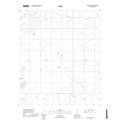
2018 Map of Sierra Bonita Ranch
USGS Topo · Published 2018About this map
Sierra Bonita Ranch sits at the base of a diverse landscape in the southern reaches of Graham County, where the high desert terrain of the Sulphur Springs Valley meets complex canyon systems. The topography is defined by significant drainages and seasonal water sources like Hooker Cienega and High Creek, which suggest the historic importance of water management in this arid cattle-ranching region. In the northern sections, the map details the transition into more dramatic relief at Aravaipa Canyon and Durkee Canyon. A network of established ranching roads, including Wells Ranch Rd and Hooker Rd, connects these remote outposts. Further south, the Ash Creek Black Hills rise above Grant Draw and Ash Cr, illustrating the rugged geographic barriers that shaped settlement patterns and land use in this part of the Arizona high country.
Find a feature on this map
25 named features on this map. Tap any name to fly to it.
Don’t see what you’re looking for? This feature index may not catch every label — zoom into the map to look around manually.
Map Details
Editions of this 2018 Sierra Bonita Ranch Map
This is the sole edition of this map. No revisions or reprints were ever made.
Other maps of this area

1922 · Willcox
USGS Topo · 1:125,000

1940 · Sierra Bonita Ranch
USGS Topo · 1:62,500

1942 · Sierra Bonita Ranch
USGS Topo · 1:62,500

1942 · Mt. Graham
USGS Topo · 1:62,500

1943 · Willcox
USGS Topo · 1:62,500

1943 · Sierra Bonita Ranch
USGS Topo · 1:62,500

1943 · Winchester Mts.
USGS Topo · 1:62,500

1945 · Mt. Graham
USGS Topo · 1:62,500

1945 · Winchester Mts.
USGS Topo · 1:62,500

1954 · Silver City
USGS Topo · 1:250,000