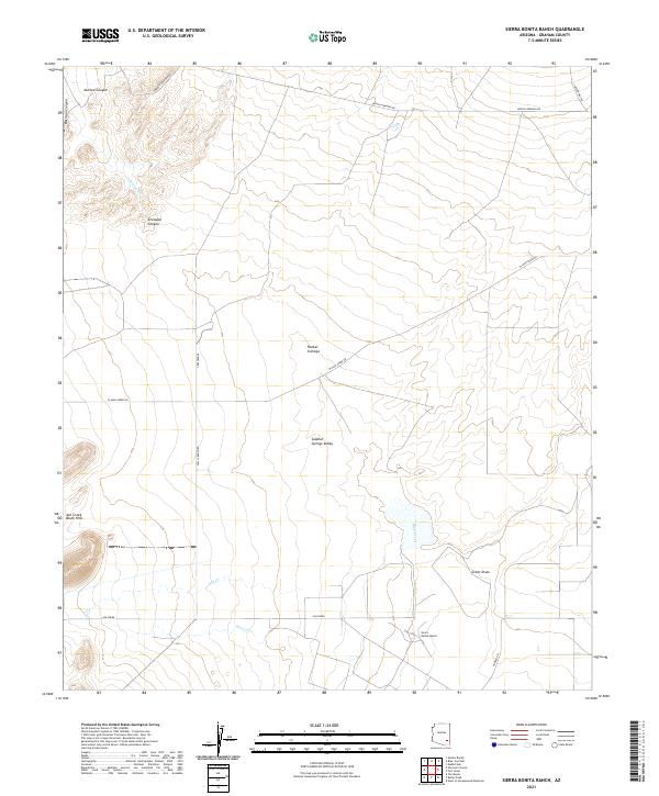
2021 Map of Sierra Bonita Ranch
USGS Topo · Published 2021About this map
Sierra Bonita Ranch serves as a primary landmark in this section of Graham County, where the desert landscape of Sulphur Springs Valley meets the rising terrain of the Ash Creek Black Hills. The map details a network of watercourses and canyons that have historically shaped movement and settlement in the region, including the prominent Aravaipa Canyon and the riparian environment of Hooker Cienega.
Find a feature on this map
24 named features on this map. Tap any name to fly to it.
Don’t see what you’re looking for? This feature index may not catch every label — zoom into the map to look around manually.
Map Details
Editions of this 2021 Sierra Bonita Ranch Map
This is the sole edition of this map. No revisions or reprints were ever made.
Other maps of this area

1922 · Willcox
USGS Topo · 1:125,000

1940 · Sierra Bonita Ranch
USGS Topo · 1:62,500

1942 · Sierra Bonita Ranch
USGS Topo · 1:62,500

1942 · Mt. Graham
USGS Topo · 1:62,500

1943 · Willcox
USGS Topo · 1:62,500

1943 · Sierra Bonita Ranch
USGS Topo · 1:62,500

1943 · Winchester Mts.
USGS Topo · 1:62,500

1945 · Mt. Graham
USGS Topo · 1:62,500

1945 · Winchester Mts.
USGS Topo · 1:62,500

1954 · Silver City
USGS Topo · 1:250,000