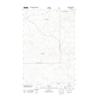
2013 Map of Silver Bay SW
USGS Topo · Published 2013About this map
The Superior National Forest defines the landscape of Lake County in this 2013 survey, where a complex network of waterways drains the North Shore highlands. The Beaver River and its various forks, including the E Br Beaver River and W Br Beaver River, dominate the central drainage patterns alongside smaller tributaries like Big Thirtynine Cr and Little Thirtynine Cr. This area shows a transition from the dense forest cover toward the aviation infrastructure at the southern edge of the map.
Find a feature on this map
14 named features on this map. Tap any name to fly to it.
Don’t see what you’re looking for? This feature index may not catch every label — zoom into the map to look around manually.
Map Details
Editions of this 2013 Silver Bay SW Map
This is the sole edition of this map. No revisions or reprints were ever made.
Other maps of this area

1953 · Whyte
USGS Topo · 1:62,500

1954 · Silver Bay
USGS Topo · 1:62,500

1954 · Two Harbors
USGS Topo · 1:250,000

1956 · Split Rock Point
USGS Topo · 1:24,000

1956 · Split Rock Point
USGS Topo · 1:62,500

1956 · Split Rock Point NE
USGS Topo · 1:24,000

1957 · Two Harbors
USGS Topo · 1:250,000

1957 · Two Harbors
USGS Topo · 1:62,500

1957 · Two Harbors NE
USGS Topo · 1:24,000

1958 · Two Harbors
USGS Topo · 1:250,000