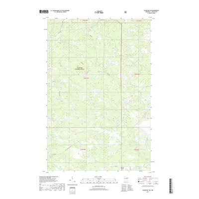
2019 Map of Silver Bay SW
USGS Topo · Published 2019About this map
Superior National Forest encompasses the vast majority of this landscape in Lake County, defining a region dominated by intricate river systems and forest service corridors. The Beaver River and its numerous tributaries, including Big Thirtynine Cr and Little Thirtynine Cr, create a dense hydrological network that has historically shaped local transit and timber access. In the southern portion of the quadrangle, the Silver Bay Municipal Airport stands as a primary modern landmark near the intersection of Co Hwy 3.
Find a feature on this map
27 named features on this map. Tap any name to fly to it.
Don’t see what you’re looking for? This feature index may not catch every label — zoom into the map to look around manually.
Map Details
Editions of this 2019 Silver Bay SW Map
This is the sole edition of this map. No revisions or reprints were ever made.
Other maps of this area

1953 · Whyte
USGS Topo · 1:62,500

1954 · Silver Bay
USGS Topo · 1:62,500

1954 · Two Harbors
USGS Topo · 1:250,000

1956 · Split Rock Point
USGS Topo · 1:24,000

1956 · Split Rock Point
USGS Topo · 1:62,500

1956 · Split Rock Point NE
USGS Topo · 1:24,000

1957 · Two Harbors
USGS Topo · 1:250,000

1957 · Two Harbors
USGS Topo · 1:62,500

1957 · Two Harbors NE
USGS Topo · 1:24,000

1958 · Two Harbors
USGS Topo · 1:250,000