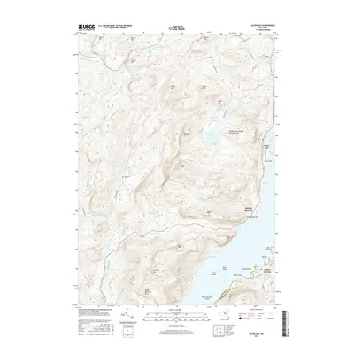
2016 Map of Silver Bay
USGS Topo · Published 2016About this map
Lake George dominates the eastern half of this terrain, where the water is divided by a series of prominent islands including Saint Sacrament Island, Vicars Island, and the Harbor Islands. The shoreline is punctuated by historic landing points such as Silver Bay, Sabbath Day Point, and Huletts Landing, the latter situated across the water on the eastern shore. The interior landscape is defined by the significant elevations of the Tongue Mountain Range, including Fivemile Mtn and Brown Mtn, which rise sharply from the western banks of the lake.
Find a feature on this map
65 named features on this map. Tap any name to fly to it.
Don’t see what you’re looking for? This feature index may not catch every label — zoom into the map to look around manually.
Map Details
Editions of this 2016 Silver Bay Map
This is the sole edition of this map. No revisions or reprints were ever made.
Other maps of this area

1893 · Whitehall
USGS Topo · 1:62,500

1894 · Ticonderoga
USGS Topo · 1:62,500

1895 · Whitehall
USGS Topo · 1:62,500

1895 · Paradox Lake
USGS Topo · 1:62,500

1896 · Ticonderoga
USGS Topo · 1:62,500

1897 · Bolton
USGS Topo · 1:62,500

1897 · Paradox Lake
USGS Topo · 1:62,500

1898 · Whitehall
USGS Topo · 1:62,500

1900 · Bolton
USGS Topo · 1:62,500

1902 · Whitehall
USGS Topo · 1:62,500